Cragmor, Colorado Springs
Map

Map

Facts and practical information
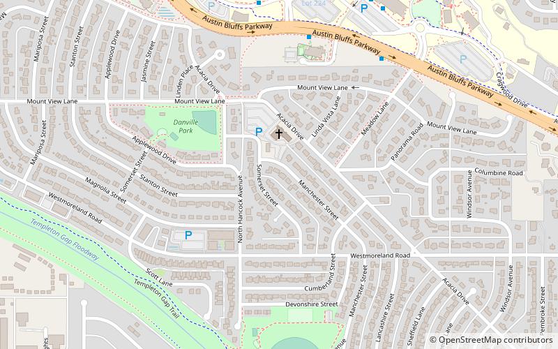
Cragmor, first known as Cragmoor, is an area in northeastern Colorado Springs, Colorado, between Templeton Gap and Austin Bluffs. The site of coal mines in the 19th century, after the turn of the century it became known as the Cragmor area for the Cragmor Sanitorium. By the 1950s, the mines were abandoned and the land was developed for housing. Cragmor was annexed to the City of Colorado Springs in the early 1960s. The Cragmor Sanatorium became the main hall for the University of Colorado Colorado Springs campus. ()
Coordinates: 38°53'16"N, 104°48'8"W
Day trips
Cragmor – popular in the area (distance from the attraction)
Nearby attractions include: Pikes Peak Greenway, Shove Memorial Chapel, Palmer Park, ProRodeo Hall of Fame.
Frequently Asked Questions (FAQ)
Which popular attractions are close to Cragmor?
Nearby attractions include Templeton Gap, Colorado Springs (8 min walk), Austin Bluffs, Colorado Springs (24 min walk).


