Central Manufacturing District, Chicago
Map
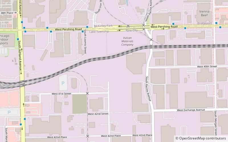
Map

Facts and practical information
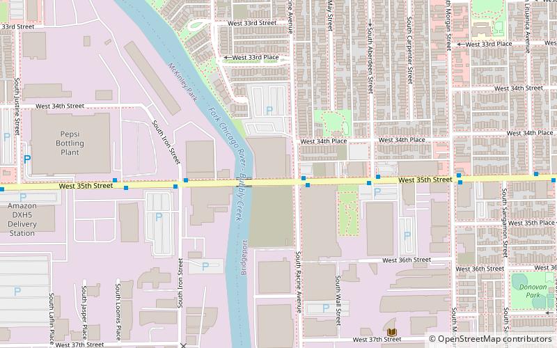
The Central Manufacturing District of Chicago is a 265-acre area of the city in which private decision makers planned the structure of the district and its internal regulation, including the provision of vital services ordinarily considered to be outside the scope of private enterprise. It has been described as the United States' first planned industrial district. ()
Area: 4.78 mi²Coordinates: 41°49'15"N, 87°39'30"W
Address
Southwest Side (New City)Chicago
ContactAdd
Social media
Add
Day trips
Central Manufacturing District – popular in the area (distance from the attraction)
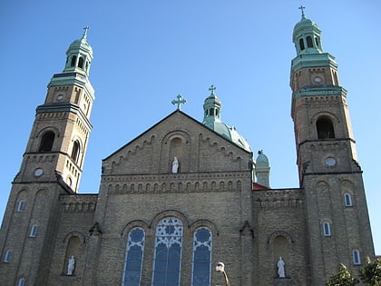
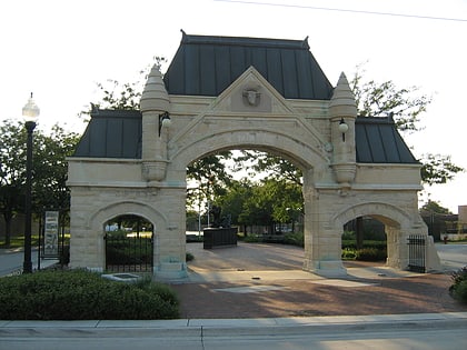
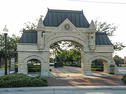
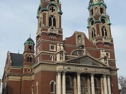
Nearby attractions include: Guaranteed Rate Field, St. Mary of Perpetual Help Parish, Union Stock Yard Gate, Chicago Maritime Museum.
Frequently Asked Questions (FAQ)
Which popular attractions are close to Central Manufacturing District?
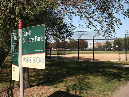
Nearby attractions include Union Stock Yard Gate, Chicago (14 min walk), Chicago Maritime Museum, Chicago (18 min walk), Davis Square Park, Chicago (19 min walk), Nativity of Our Lord Catholic Church, Chicago (23 min walk).
How to get to Central Manufacturing District by public transport?
The nearest stations to Central Manufacturing District:
Bus
Metro
Bus
- Pershing & Loomis • Lines: 39 (6 min walk)
- 1111 W Pershing • Lines: 39 (8 min walk)
Metro
- 35th/Archer • Lines: Orange (34 min walk)

 Rail "L"
