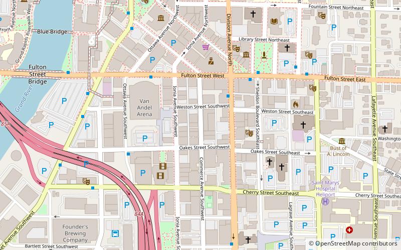
Heartside, Grand Rapids
Map

Map

Facts and practical information
Heartside is a neighborhood located near downtown Grand Rapids, Michigan. Heartside district is a developing area in the city known for its art. It has restaurants, a park with a playground and splash-pad, and a recently opened farmer's market. However, it also has experienced much urban decay, features numerous abandoned buildings, and contains a large presence of homelessness. ()
Coordinates: 42°57'42"N, 85°40'9"W
Address
Downtown Grand RapidsGrand Rapids
ContactAdd
Social media
Add
Day trips
Heartside – popular in the area (distance from the attraction)
Nearby attractions include: Grand Rapids Art Museum, Van Andel Arena, Cathedral of Saint Andrew, Fountain Street Church.
Frequently Asked Questions (FAQ)
Which popular attractions are close to Heartside?
Nearby attractions include Kent County Civil War Monument, Grand Rapids (4 min walk), Peck Block, Grand Rapids (5 min walk), Grand Rapids Civic Theatre, Grand Rapids (5 min walk), Grand Rapids Savings Bank Building, Grand Rapids (5 min walk).
How to get to Heartside by public transport?
The nearest stations to Heartside:
Bus
Train
Bus
- Fulton Street • Lines: 90 (7 min walk)
- Market at Fulton • Lines: 12 (7 min walk)
Train
- Grand Rapids (12 min walk)


