Vandeventer, St. Louis
Map
Map

Facts and practical information
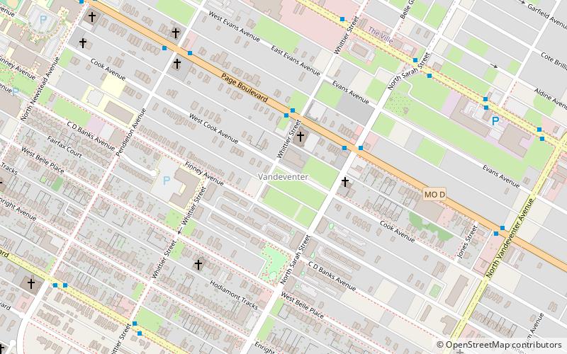
Vandeventer is a neighborhood of St. Louis, Missouri. The area is bounded by Dr. Martin Luther King Drive on the North, Delmar Boulevard on the South, Vandeventer Avenue on the East, and Newstead Avenue on the West. ()
Coordinates: 38°39'1"N, 90°14'27"W
Day trips
Vandeventer – popular in the area (distance from the attraction)
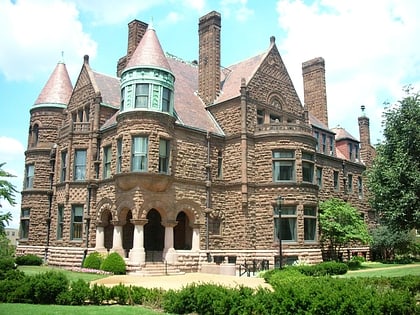
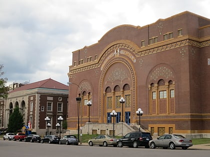
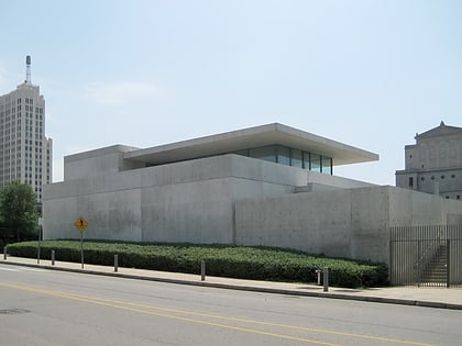
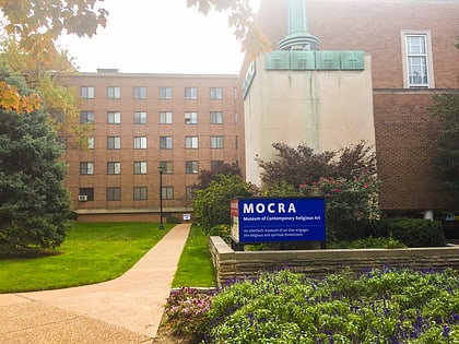
Nearby attractions include: Cathedral Basilica of Saint Louis, Contemporary Art Museum St. Louis, Powell Hall, Samuel Cupples House.
Frequently Asked Questions (FAQ)
Which popular attractions are close to Vandeventer?
Nearby attractions include The Ville, St. Louis (16 min walk), Lewis Place, St. Louis (17 min walk), Contemporary Art Museum St. Louis, St. Louis (19 min walk), Grand Center, St. Louis (20 min walk).
How to get to Vandeventer by public transport?
The nearest stations to Vandeventer:
Light rail
Light rail
- Cortex • Lines: Blue, Red (33 min walk)
- Central West End • Lines: Blue, Red (39 min walk)


