Downtown Flagstaff, Flagstaff
Map
Gallery
Facts and practical information
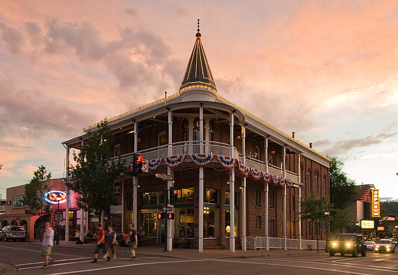
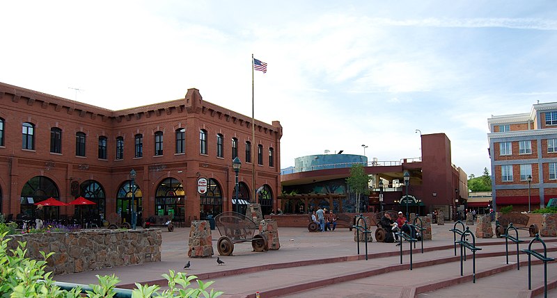
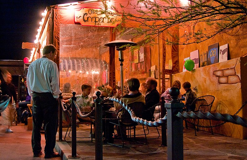
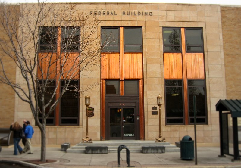
Downtown Flagstaff, Arizona sits in the western part of the city, and consists of several culturally-connected blocks. The city of Flagstaff has a downtown culture of local, independent, stores inside historic buildings. ()
Coordinates: 35°12'2"N, 111°38'49"W
Address
Downtown FlagstaffFlagstaff
ContactAdd
Social media
Add
Day trips
Downtown Flagstaff – popular in the area (distance from the attraction)
Nearby attractions include: Lowell Observatory, Riordan Mansion State Historic Park, Jay Lively Activity Center, Orpheum Theater.
Frequently Asked Questions (FAQ)
Which popular attractions are close to Downtown Flagstaff?
Nearby attractions include Presbyterian Church Parsonage, Flagstaff (3 min walk), Railroad Addition Historic District, Flagstaff (6 min walk), Orpheum Theater, Flagstaff (6 min walk), First Baptist Church, Flagstaff (12 min walk).
How to get to Downtown Flagstaff by public transport?
The nearest stations to Downtown Flagstaff:
Train
Bus
Train
- Flagstaff (7 min walk)
Bus
- Greyhound Station (19 min walk)


