Front Street Block, Gloucester
Map
Map

Facts and practical information
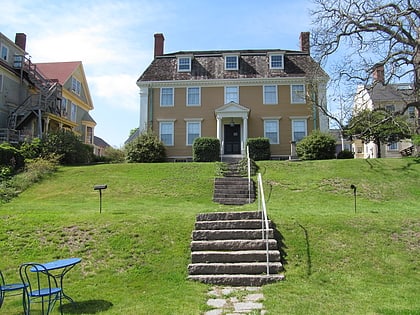
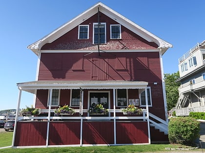
The Front Street Block is a series of four connected commercial blocks in the West End of Gloucester, Massachusetts, USA. They were built in 1831 after a fire had devastated Gloucester's downtown the previous year. ()
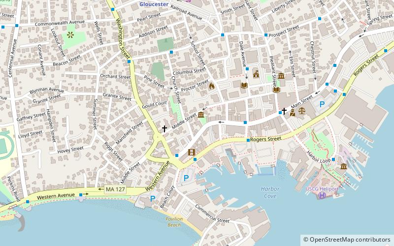
Coordinates: 42°36'45"N, 70°39'55"W
Address
Gloucester (Central Gloucester)Gloucester
ContactAdd
Social media
Add
Day trips
Front Street Block – popular in the area (distance from the attraction)
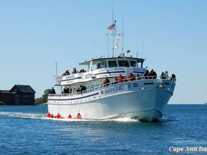
Nearby attractions include: Cape Ann Whale Watch, Gloucester Fisherman's Memorial, Stage Fort Park, Ten Pound Island Light.
Frequently Asked Questions (FAQ)
Which popular attractions are close to Front Street Block?
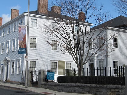
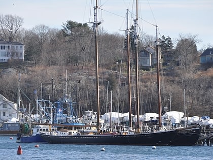
Nearby attractions include Central Gloucester Historic District, Gloucester (1 min walk), Gloucester Lyceum, Gloucester (2 min walk), Local Colors Artists' Cooperative, Gloucester (3 min walk), Schooner Thomas E Lannon in Gloucester, Gloucester (4 min walk).
How to get to Front Street Block by public transport?
The nearest stations to Front Street Block:
Train
Train
- Gloucester (8 min walk)

