Port of Pensacola, Pensacola
Map
Facts and practical information
The Port of Pensacola is an operational deep-water port located on Pensacola Bay. With origins dating back to 1743, it is now one of the City of Pensacola's Enterprise Operations, having been incorporated in 1943 as the Municipal Port Authority. ()
Coordinates: 30°25'60"N, 87°11'60"W
Address
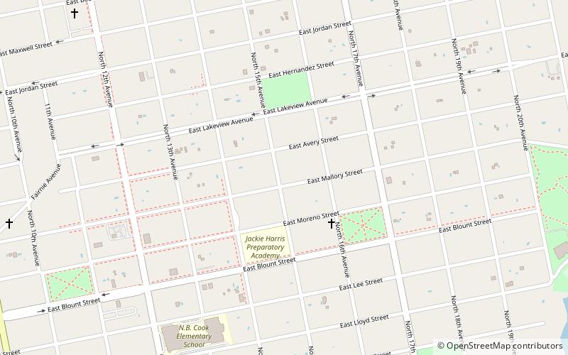
Southeast Pensacola (East Hill)Pensacola
ContactAdd
Social media
Add
Getting there by public transportation
Public transportation stops near this location
- Train
 Train
Train
- Calculate routePensacola 25 min walk
Day trips


Frequently Asked Questions (FAQ)
Which popular attractions are close to Port of Pensacola?
Nearby attractions include Cathedral of the Sacred Heart, Pensacola (7 min walk), Crystal Ice Company Building, Pensacola (20 min walk), James House, Pensacola (21 min walk).
How to get to Port of Pensacola by public transport?
The nearest stations to Port of Pensacola:
Train
Train
- Pensacola (25 min walk)