Santa Fe Historic District, Santa Fe
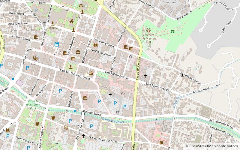
Map
Facts and practical information
Santa Fe Historic District is a historic district in Santa Fe, New Mexico that was listed on the National Register of Historic Places in 1973. It includes two sites that are individually named U.S. National Historic Landmarks: ()
Area: 1.74 mi²Coordinates: 35°41'13"N, 105°56'6"W
Address
Downtown Santa FeSanta Fe
ContactAdd
Social media
Add
Getting there by public transportation
Public transportation stops near this location
- Bus
- Train
 Bus
Bus
- Calculate routeDowntown Transit Center 8 min walk
- Calculate routeSanta Fe Depot 18 min walk
Day trips
Santa Fe Historic District – popular in the area (distance from the attraction)
Nearby attractions include: San Miguel Mission, Loretto Chapel, Palace of the Governors, Georgia O'Keeffe Museum.


Frequently Asked Questions (FAQ)
Which popular attractions are close to Santa Fe Historic District?
Nearby attractions include Peyton Wright Gallery, Santa Fe (2 min walk), La Conquistadora, Santa Fe (2 min walk), Cathedral Basilica of St. Francis of Assisi, Santa Fe (2 min walk), Museum of Contemporary Native Arts, Santa Fe (3 min walk).
How to get to Santa Fe Historic District by public transport?
The nearest stations to Santa Fe Historic District:
Bus
Train
Bus
- Downtown Transit Center (8 min walk)
Train
- Santa Fe Depot (18 min walk)