Cleveland Commercial Historic District, Cleveland
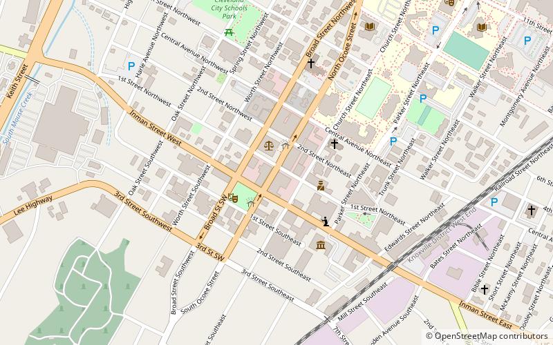
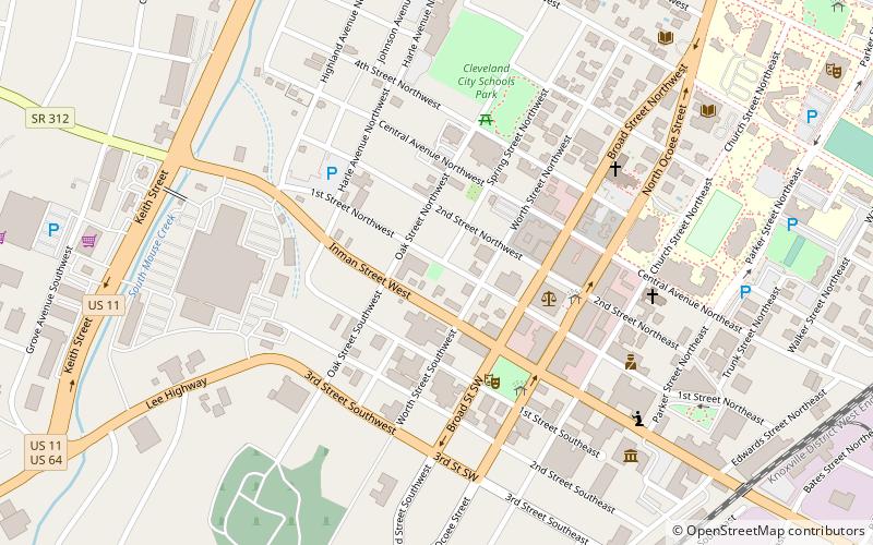
Map
Facts and practical information
The Cleveland Commercial Historic District is a historic district located in the central business district of Cleveland, Tennessee. It was listed on the National Register of Historic Places in 2017. ()
Coordinates: 35°9'35"N, 84°52'32"W
Address
Cleveland
ContactAdd
Social media
Add
Day trips
Cleveland Commercial Historic District – popular in the area (distance from the attraction)
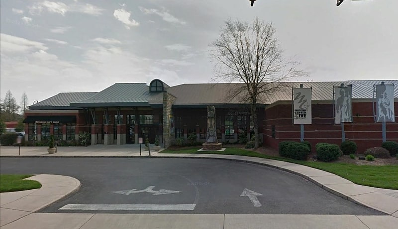
Nearby attractions include: Museum Center at 5ive Points, First Presbyterian Church, St. Luke's Episcopal Church, Taylor Spring Park.


Frequently Asked Questions (FAQ)
Which popular attractions are close to Cleveland Commercial Historic District?
Nearby attractions include Museum Center at 5ive Points, Cleveland (4 min walk), St. Luke's Episcopal Church, Cleveland (4 min walk), Taylor Spring Park, Cleveland (5 min walk), First Presbyterian Church, Cleveland (6 min walk).