Hallmark, Louisville

Map
Facts and practical information
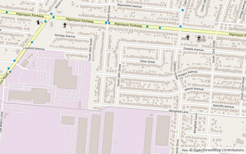
Hallmark is a small, primarily residential neighborhood in western Louisville, Kentucky, United States founded in 1965. Its boundaries are Cane Run Road to the west, Algonquin Parkway to the north, and Cypress street to the east. The origins of its name are not known. The area sits along Algonquin Park east to west near the border of Louisville and Shively. There are few distinctions that separate Hallmark from the surrounding areas of Park Duvalle or Shively. ()
Coordinates: 38°13'16"N, 85°48'15"W
Address
Central Louisville (Hallmark)Louisville
ContactAdd
Social media
Add
Day trips
Hallmark – popular in the area (distance from the attraction)
Nearby attractions include: Churchill Downs, Papa John's Cardinal Stadium, Kentucky Derby Museum, Central Park.
Frequently Asked Questions (FAQ)
How to get to Hallmark by public transport?
The nearest stations to Hallmark:
Bus
Bus
- Algonquin / Beech • Lines: 22North, 22South (6 min walk)
- Cypress / Wyandotte • Lines: 22North, 22South (9 min walk)


