Vinton Street Commercial Historic District, Omaha
Map

Map

Facts and practical information
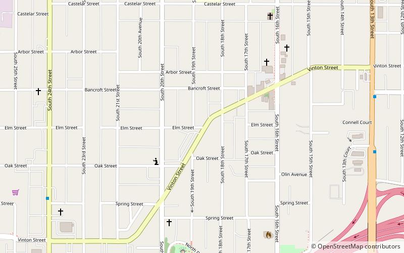
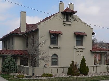
The Vinton Street Commercial Historic District is located along Vinton Street between Elm Street on the west and South 17th Street on the east in south Omaha, Nebraska. This district is located adjacent to Sheelytown, a residential neighborhood that had historically significant populations of Irish, Poles, and Eastern European immigrants. It grew along with the success of the Union Stockyards and South Omaha. It was added to the National Register of Historic Places in 2006. ()
Coordinates: 41°13'59"N, 95°56'26"W
Address
Southeast Omaha (Vinton Street)Omaha
ContactAdd
Social media
Add
Day trips
Vinton Street Commercial Historic District – popular in the area (distance from the attraction)
Nearby attractions include: Henry Doorly Zoo and Aquarium, Lauritzen Gardens, Kenefick Park, Gerald R. Ford Birthsite and Gardens.
Frequently Asked Questions (FAQ)
Which popular attractions are close to Vinton Street Commercial Historic District?
Nearby attractions include Immaculate Conception Church and School, Omaha (10 min walk), Sheelytown, Omaha (10 min walk), Sokol Auditorium, Omaha (14 min walk), St. Joseph Parish Complex, Omaha (16 min walk).
How to get to Vinton Street Commercial Historic District by public transport?
The nearest stations to Vinton Street Commercial Historic District:
Bus
Train
Bus
- 30th & Harrison • Lines: 24 (13 min walk)
Train
- Omaha (35 min walk)


