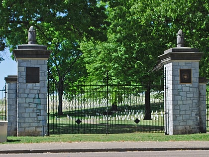
Fort Wood Historic District, Chattanooga
Map
Facts and practical information
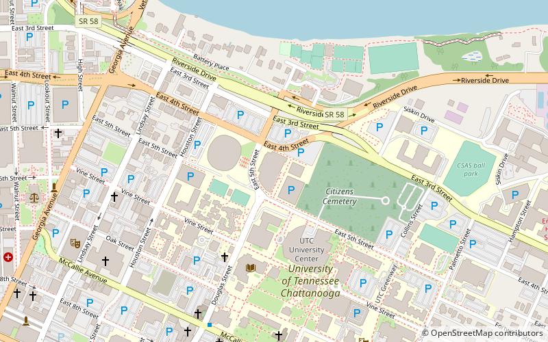
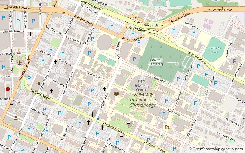
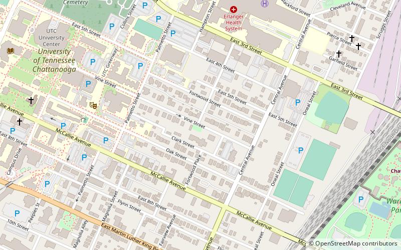
Fort Wood Historic District is a historic neighborhood in Chattanooga, Tennessee. It is bounded roughly by Palmetto Street, McCallie Avenue, East 4th Street, and O'Neal Street, just east of the campus of the University of Tennessee at Chattanooga. ()
Coordinates: 35°2'41"N, 85°17'31"W
Address
Downtown ChattanoogaChattanooga
ContactAdd
Social media
Add
Day trips
Fort Wood Historic District – popular in the area (distance from the attraction)
Nearby attractions include: Tennessee Aquarium, McKenzie Arena, Maclellan Gymnasium, Engel Stadium.
Frequently Asked Questions (FAQ)
Which popular attractions are close to Fort Wood Historic District?
Nearby attractions include Mizpah Congregation, Chattanooga (4 min walk), Engel Stadium, Chattanooga (8 min walk), Chattanooga School for the Arts & Sciences, Chattanooga (11 min walk), University of Tennessee at Chattanooga, Chattanooga (11 min walk).
How to get to Fort Wood Historic District by public transport?
The nearest stations to Fort Wood Historic District:
Bus
Bus
- CARTA Shuttle (25 min walk)

