South Serrano Avenue Historic District, Los Angeles
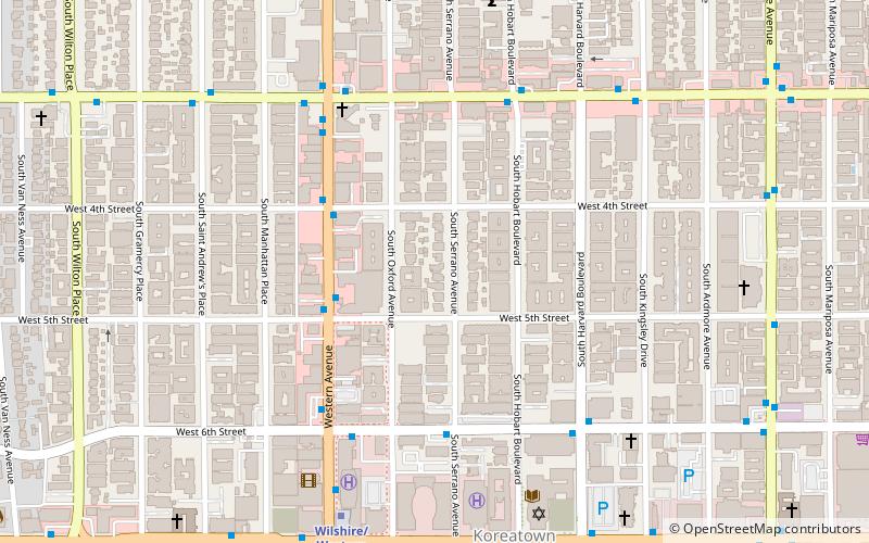
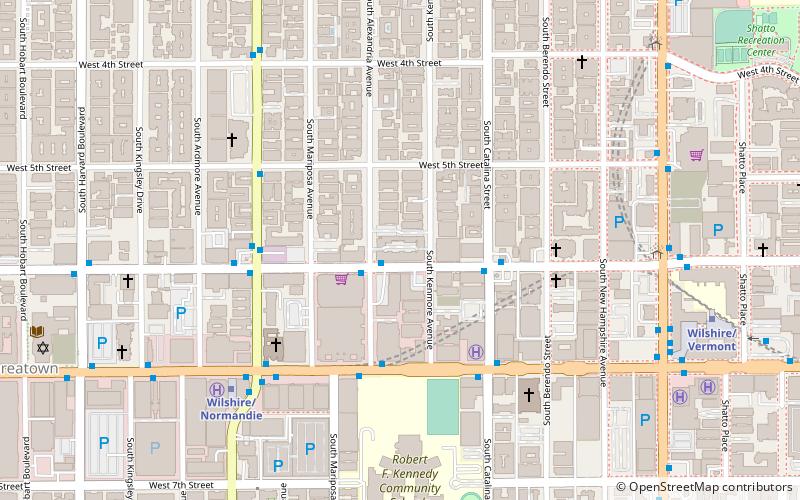
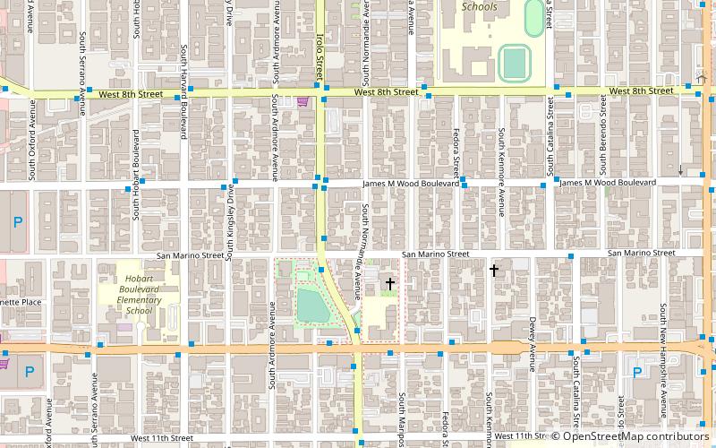
Map
Facts and practical information
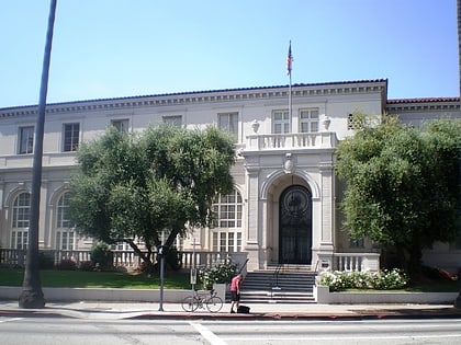
The South Serrano Avenue Historic District is a historic district of early 20th Century homes along the 400 block of South Serrano Avenue in the Mid-City section of Los Angeles, California. The block of well-preserved homes was added to the National Register of Historic Places in 1988. ()
Coordinates: 34°3'58"N, 118°18'25"W
Address
Central Los Angeles (Wilshire Center - Koreatown)Los Angeles
ContactAdd
Social media
Add
Day trips
South Serrano Avenue Historic District – popular in the area (distance from the attraction)
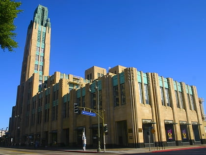
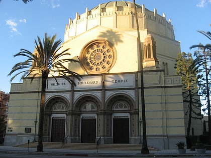
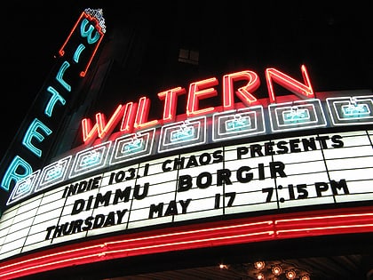
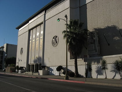
Nearby attractions include: Bullocks Wilshire, Wilshire Boulevard Temple, The Wiltern, Marciano Art Foundation.
Frequently Asked Questions (FAQ)
Which popular attractions are close to South Serrano Avenue Historic District?
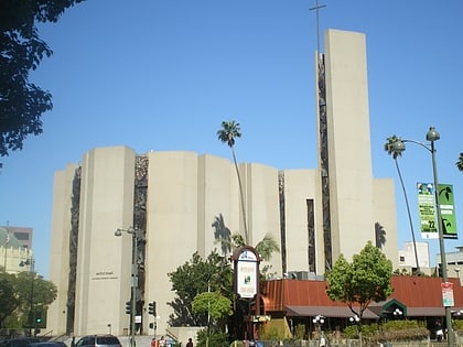
Nearby attractions include Wilshire Boulevard Temple, Los Angeles (8 min walk), The Wiltern, Los Angeles (8 min walk), St. Basil Catholic Church, Los Angeles (10 min walk), Koreatown, Los Angeles (13 min walk).
How to get to South Serrano Avenue Historic District by public transport?
The nearest stations to South Serrano Avenue Historic District:
Bus
Metro
Bus
- Western & 5th • Lines: Hollywood/Wilshire, Wilshire Center/Koreatown (4 min walk)
- Western & 6th • Lines: Wilshire Center/Koreatown (6 min walk)
Metro
- Wilshire/Western • Lines: D (8 min walk)
- Wilshire/Vermont • Lines: B, D (25 min walk)
 Metro & Regional Rail