South Bethlehem Downtown Historic District, Bethlehem
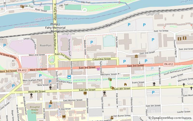
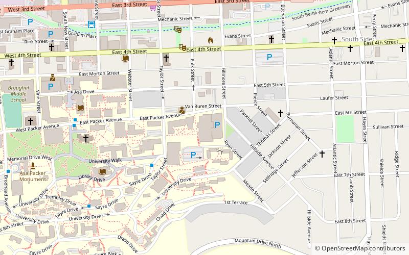
Map

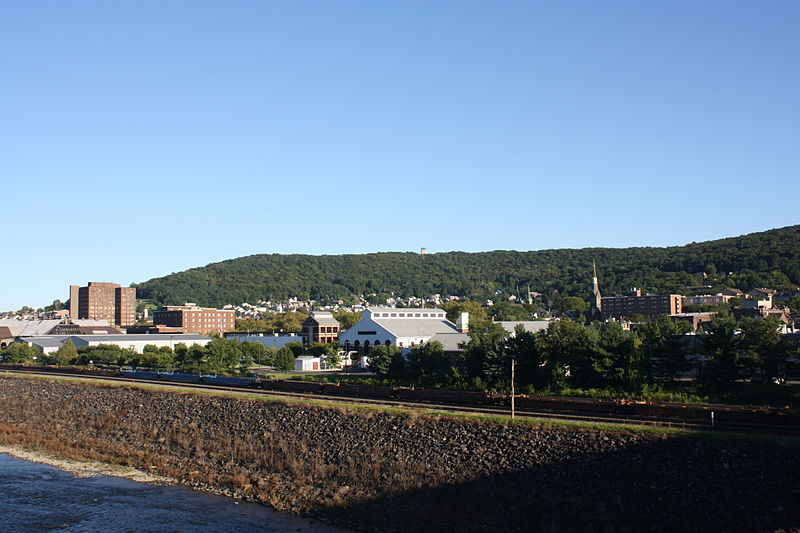
Gallery

Facts and practical information
South Bethlehem Downtown Historic District is a national historic district in Bethlehem, Northampton County, Pennsylvania, in the United States. ()
Coordinates: 40°36'45"N, 75°22'30"W
Address
South BethlehemBethlehem
ContactAdd
Social media
Add
Day trips
South Bethlehem Downtown Historic District – popular in the area (distance from the attraction)
Nearby attractions include: The Outlets at Sands Bethlehem, Moravian Museum, Moravian Book Shop, National Museum of Industrial History.
Frequently Asked Questions (FAQ)
Which popular attractions are close to South Bethlehem Downtown Historic District?
Nearby attractions include Monsoon gallery, Bethlehem (5 min walk), National Museum of Industrial History, Bethlehem (6 min walk), Banana Factory, Bethlehem (7 min walk), Philip J. Fahy Memorial Bridge, Bethlehem (7 min walk).
How to get to South Bethlehem Downtown Historic District by public transport?
The nearest stations to South Bethlehem Downtown Historic District:
Bus
Bus
- South Bethlehem Bus Terminal (4 min walk)


