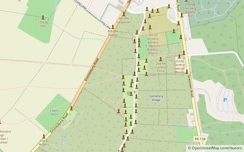
The Angle, Gettysburg
Map

Map

Facts and practical information
The Angle is a Gettysburg Battlefield area which includes the 1863 Copse of Trees used as the target landmark for Pickett's Charge, the 1892 monument that marks the high-water mark of the Confederacy, a rock wall, and several other Battle of Gettysburg monuments. ()
Coordinates: 39°48'48"N, 77°14'11"W
Address
Gettysburg
ContactAdd
Social media
Add
Day trips
The Angle – popular in the area (distance from the attraction)
Nearby attractions include: Pennsylvania State Memorial, 72nd Pennsylvania Infantry Monument, Gettysburg National Cemetery, Evergreen Cemetery.
Frequently Asked Questions (FAQ)
Which popular attractions are close to The Angle?
Nearby attractions include 72nd Pennsylvania Infantry Monument, Gettysburg (2 min walk), High-water mark of the Confederacy, Gettysburg (2 min walk), High Water Mark of the Rebellion Monument, Gettysburg (2 min walk), Brian Farm, Gettysburg (5 min walk).


