Tampa Heights, Tampa

Map
Facts and practical information
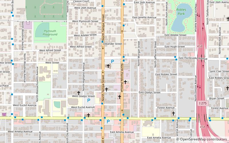
Tampa Heights is one of the oldest neighborhoods within the city limits of Tampa, situated in the central part of the city. As of the 2000 census, the neighborhood had a population of 16,393. ()
Coordinates: 27°58'12"N, 82°27'36"W
Address
Northeast Tampa (Tampa Heights)Tampa
ContactAdd
Social media
Add
Day trips
Tampa Heights – popular in the area (distance from the attraction)
Nearby attractions include: Oaklawn Cemetery, Bro Bowl, The RITZ Ybor, St. James House of Prayer Episcopal Church.
Frequently Asked Questions (FAQ)
Which popular attractions are close to Tampa Heights?
Nearby attractions include St. James House of Prayer Episcopal Church, Tampa (9 min walk), Tampa Heights Historic District, Tampa (10 min walk), Robles Park, Tampa (11 min walk), Tampa Free Library, Tampa (18 min walk).
How to get to Tampa Heights by public transport?
The nearest stations to Tampa Heights:
Bus
Tram
Train
Bus
- Florida Avenue @ Floribraska Avenue • Lines: 1, 6 (2 min walk)
- Floribraska Avenue @ Florida Avenue • Lines: 6 (2 min walk)
Tram
- Cadrecha Plaza • Lines: Teco (28 min walk)
- Streetcar Society • Lines: Teco (31 min walk)
Train
- Tampa (34 min walk)


