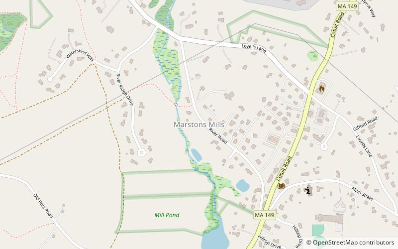
Marstons Mills, Barnstable
Map

Map

Facts and practical information
Marstons Mills is a village in the town of Barnstable, Massachusetts, United States. It is primarily residential, located on Massachusetts Route 28, and rural in nature. Main roads also include Massachusetts Route 149, Race Lane, River Road, Osterville-West Barnstable Road, and Santuit-Newtown Road. ()
Coordinates: 41°39'22"N, 70°24'58"W
Address
Mid Cape (Marstons Mills)Barnstable
ContactAdd
Social media
Add
Day trips
Marstons Mills – popular in the area (distance from the attraction)
Nearby attractions include: Marstons Mills Community Church, Marstons Mills Hearse House and Cemetery, Hinckley Homestead, William Marston House.
Frequently Asked Questions (FAQ)
Which popular attractions are close to Marstons Mills?
Nearby attractions include Marstons Mills Community Church, Barnstable (5 min walk), Gifford Farm, Barnstable (6 min walk), William Marston House, Barnstable (8 min walk), Marstons Mills Hearse House and Cemetery, Barnstable (15 min walk).


