Putnam Hill Historic District, Greenwich
Map

Map

Facts and practical information
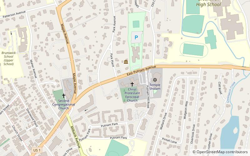
The Putnam Hill Historic District encompasses a former town center of Greenwich, Connecticut. Located on United States Route 1 between Millbank Avenue and Old Church Road, the district includes the churches of two historic congregations, a former tavern, and a collection of fine mid-Victorian residential architecture. The district was listed on the National Register of Historic Places in 1979. ()
Coordinates: 41°2'11"N, 73°37'9"W
Address
Central Greenwich (Anderson Ridge)Greenwich
ContactAdd
Social media
Add
Day trips
Putnam Hill Historic District – popular in the area (distance from the attraction)
Nearby attractions include: Bruce Museum of Arts and Science, Putnam Cottage, Little Bethel African Methodist Episcopal Church, Greenwich Library.
Frequently Asked Questions (FAQ)
Which popular attractions are close to Putnam Hill Historic District?
Nearby attractions include Putnam Cottage, Greenwich (1 min walk), Bowman Observatory, Greenwich (8 min walk), Methodist Episcopal Church, Greenwich (12 min walk), Fourth Ward Historic District, Greenwich (12 min walk).
How to get to Putnam Hill Historic District by public transport?
The nearest stations to Putnam Hill Historic District:
Train
Train
- Greenwich (28 min walk)
- Cos Cob (28 min walk)


