Old Northside Historic District, Indianapolis
Map

Map

Facts and practical information
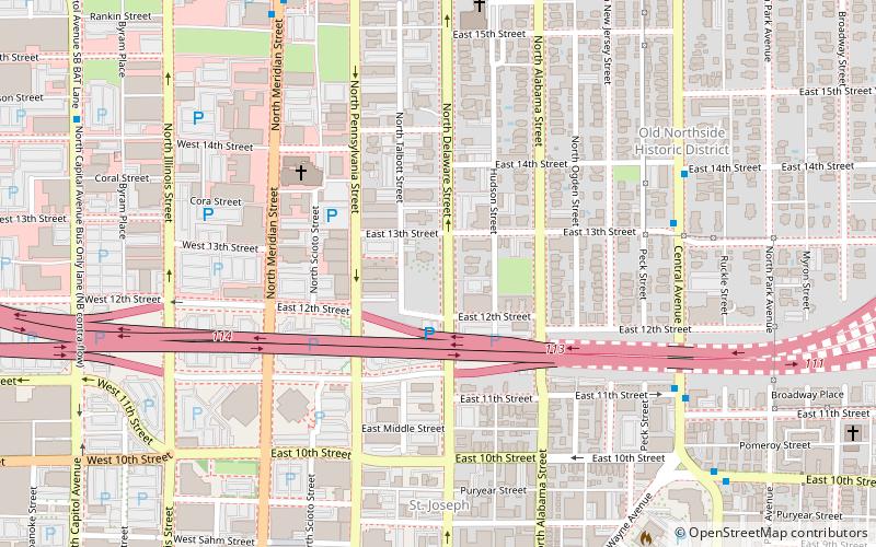
Old Northside is a residential neighborhood near downtown in Indianapolis, Indiana. It is bordered by 16th Street on the north, Pennsylvania Street on the west, Interstate I-65 on the south, and Bellefontaine Street on the east. The Monon Trail runs along the eastern edge of The Frank and Judy O'Bannon Old Northside Soccer Park. ()
Coordinates: 39°47'2"N, 86°9'15"W
Address
North Side (Old Northside)Indianapolis
ContactAdd
Social media
Add
Day trips
Old Northside Historic District – popular in the area (distance from the attraction)
Nearby attractions include: Benjamin Harrison Presidential Site, City Market, Indianapolis Symphony Orchestra, Phoenix Theatre.
Frequently Asked Questions (FAQ)
Which popular attractions are close to Old Northside Historic District?
Nearby attractions include Benjamin Harrison Presidential Site, Indianapolis (1 min walk), Pierson–Griffiths House, Indianapolis (3 min walk), The Wyndham, Indianapolis (3 min walk), Calvin I. Fletcher House, Indianapolis (4 min walk).
How to get to Old Northside Historic District by public transport?
The nearest stations to Old Northside Historic District:
Train
Bus
Train
- Methodist (16 min walk)
- Canal (16 min walk)
Bus
- FlixBus Indianapolis • Lines: 2511 (30 min walk)


