Hoffner Historic District, Cincinnati
Map
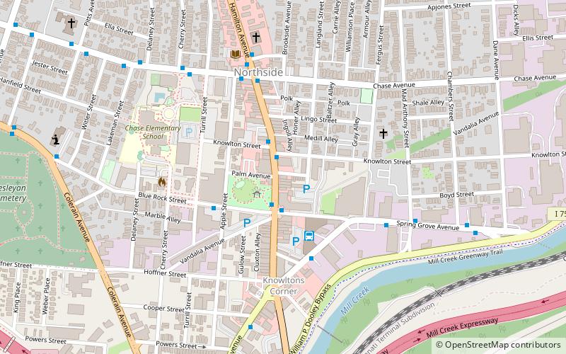
Map

Facts and practical information
The Hoffner Historic District is a historic collection of buildings in the Northside neighborhood of Cincinnati, Ohio, United States. Built primarily at the end of the nineteenth century, the district has experienced few changes since it was built, and it has been named a historic site. ()
Area: 5 acres (0.0078 mi²)Coordinates: 39°9'39"N, 84°32'21"W
Address
4120 Hamilton AveNorthsideCincinnati
ContactAdd
Social media
Add
Day trips
Hoffner Historic District – popular in the area (distance from the attraction)
Nearby attractions include: Northside, Spring Grove Cemetery, Spring Grove Cemetery Chapel, American Sign Museum.
Frequently Asked Questions (FAQ)
Which popular attractions are close to Hoffner Historic District?
Nearby attractions include Domhoff Buildings, Cincinnati (3 min walk), Northside, Cincinnati (5 min walk), St. Pius X Catholic Church, Cincinnati (5 min walk), Northside United Methodist Church, Cincinnati (8 min walk).
How to get to Hoffner Historic District by public transport?
The nearest stations to Hoffner Historic District:
Bus
Bus
- Chase Ave & Hamilton Ave • Lines: 27 (5 min walk)
- Spring Grove Ave & Fergus St • Lines: 16, 20 (5 min walk)


