Gettys-Black divide, Gettysburg
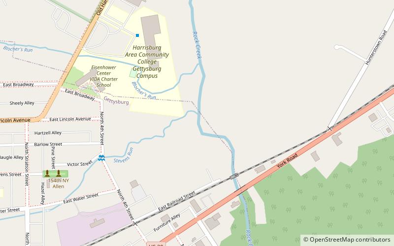
Map
Facts and practical information
The Gettys-Black divide is the primary drainage divide of Cumberland Township, Adams County, Pennsylvania; extending from the mouth of Stevens Creek southward past Samuel Gettys' 1761 tavern ~7 miles to the mouth of Plum Run at the dam site for Robert Black's 1798 Mill. From a ridge within the Gettysburg borough, the divide extends southward across several strategic features of the Gettysburg Battlefield: ()
Coordinates: 39°50'13"N, 77°13'17"W
Address
Gettysburg
ContactAdd
Social media
Add
Getting there by public transportation
Public transportation stops near this location
- Bus
 Bus
Bus
- Calculate routeGettysburg Transit Center 15 min walk
Day trips


Frequently Asked Questions (FAQ)
Which popular attractions are close to Gettys-Black divide?
Nearby attractions include Christ Evangelical Lutheran Church, Gettysburg (15 min walk), Gallery 30, Gettysburg (16 min walk), Pennsylvania Hall, Gettysburg (18 min walk), Adams County Courthouse, Gettysburg (19 min walk).
How to get to Gettys-Black divide by public transport?
The nearest stations to Gettys-Black divide:
Bus
Bus
- Gettysburg Transit Center (15 min walk)