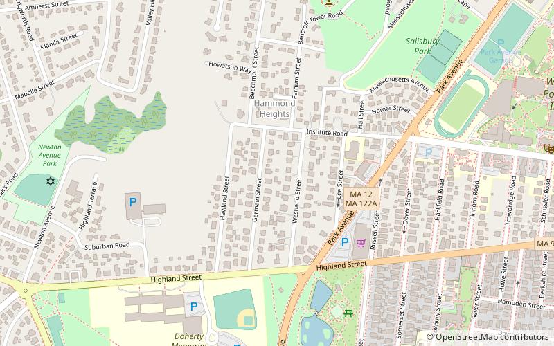
Hammond Heights, Worcester
Map

Map

Facts and practical information
Hammond Heights is an historic neighborhood subdivision on the west side of Worcester, Massachusetts. It includes properties along Germain, Haviland, Highland, and Westland Streets and Institute Road, most of which were built between 1890 and 1918, and is a good example of a turn-of-the-century residential subdivision, with a diversity of period architectural styles. The district was listed on the National Register of Historic Places in 1980. ()
Architectural style: Renaissance revivalCoordinates: 42°16'21"N, 71°49'3"W
Address
West Worcester (Salisbury Street)Worcester
ContactAdd
Social media
Add
Day trips
Hammond Heights – popular in the area (distance from the attraction)
Nearby attractions include: DCU Center, Worcester Art Museum, Armsby Abbey, Worcester City Hall and Common.
Frequently Asked Questions (FAQ)
Which popular attractions are close to Hammond Heights?
Nearby attractions include Bancroft Tower, Worcester (8 min walk), Elm Park, Worcester (9 min walk), Becker College, Worcester (10 min walk), Harris-Merrick House, Worcester (12 min walk).
How to get to Hammond Heights by public transport?
The nearest stations to Hammond Heights:
Bus
Train
Bus
- WRTA Transportation Hub (35 min walk)
- Worcester Bus Station (35 min walk)
Train
- Worcester (36 min walk)


