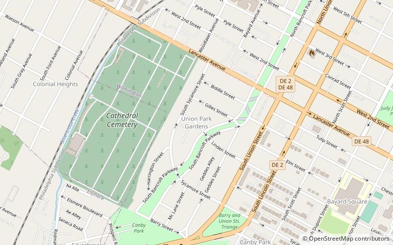
Union Park Gardens, Wilmington

Map
Facts and practical information
Union Park Gardens is a neighborhood located between Union Street and Lancaster Avenue in Wilmington, Delaware, United States. It was designed by landscape architect John Nolen and the architect Emile G. Perrot of the firm Ballinger & Perrot during the First World War. Union Park Gardens first served as housing for shipyard workers of the United States Shipping Board's Emergency Fleet Corporation. ()
Coordinates: 39°44'46"N, 75°34'42"W
Address
Union Park GardensWilmington
ContactAdd
Social media
Add
Day trips
Union Park Gardens – popular in the area (distance from the attraction)
Nearby attractions include: Daniel S. Frawley Stadium, Chase Center on the Riverfront, Holy Trinity Greek Orthodox Church, St. Anthony's Roman Catholic Church.
Frequently Asked Questions (FAQ)
Which popular attractions are close to Union Park Gardens?
Nearby attractions include Canby Park Estates, Wilmington (14 min walk), St. Anthony's Roman Catholic Church, Wilmington (20 min walk), St. Hedwig's Roman Catholic Church, Wilmington (20 min walk), Public School No. 19, Wilmington (20 min walk).


