Walnut Hill District, New Britain
Map

Map

Facts and practical information
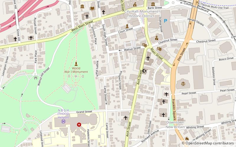
The Walnut Hill District is a historic district encompassing a predominantly residential area southwest of downtown New Britain, Connecticut. Roughly bounded by Walnut Hill Park and the New Britain General Hospital, as well as West Main, Main, Arch, and Hart Streets, the area mirrors in residential architecture the growth of the city as an industrial center between 1840 and 1930. The district was listed on the National Register of Historic Places in 1975. ()
Area: 36 acres (0.0562 mi²)Coordinates: 41°39'51"N, 72°47'2"W
Address
New Britain
ContactAdd
Social media
Add
Day trips
Walnut Hill District – popular in the area (distance from the attraction)
Nearby attractions include: New Britain Stadium, New Britain Museum of American Art, Walnut Hill Park, Sacred Heart Parish.
Frequently Asked Questions (FAQ)
Which popular attractions are close to Walnut Hill District?
Nearby attractions include Trinity-on-Main, New Britain (5 min walk), South Congregational Church, New Britain (5 min walk), First Lutheran Church of the Reformation, New Britain (5 min walk), Trinity Methodist Episcopal Church, New Britain (7 min walk).
How to get to Walnut Hill District by public transport?
The nearest stations to Walnut Hill District:
Bus
Bus
- Downtown New Britain Station (10 min walk)
- East Main Street Station (28 min walk)


