Jesus Junction, Atlanta

Map
Facts and practical information
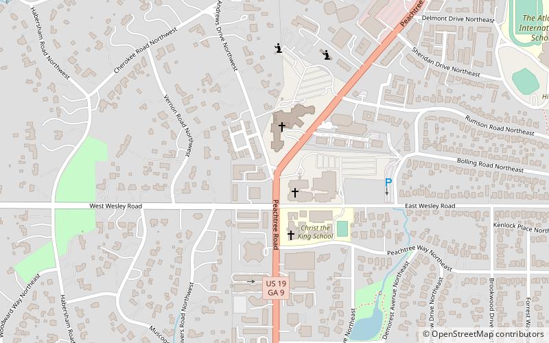
Jesus Junction, in Atlanta, Georgia popular culture, is a nickname for an intersection at which three churches are located. The intersection is located at Peachtree Road, East Wesley Road and West Wesley Road in the Buckhead area of the city. The churches at the intersection are: ()
Coordinates: 33°49'46"N, 84°23'15"W
Address
Buckhead (Peachtree Heights West)Atlanta
ContactAdd
Social media
Add
Day trips
Jesus Junction – popular in the area (distance from the attraction)
Nearby attractions include: Swan House, Atlanta History Center, Georgia Governor's Mansion, Cathedral of Christ the King.
Frequently Asked Questions (FAQ)
Which popular attractions are close to Jesus Junction?
Nearby attractions include Episcopal Cathedral of Saint Philip, Atlanta (3 min walk), Cathedral of Christ the King, Atlanta (3 min walk), Garden Hills, Atlanta (13 min walk), Swan House, Atlanta (20 min walk).
How to get to Jesus Junction by public transport?
The nearest stations to Jesus Junction:
Metro
Metro
- Lindbergh Center • Lines: Gold, Red (29 min walk)


