Zip Auto, Missoula

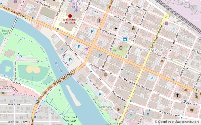
Map
Facts and practical information
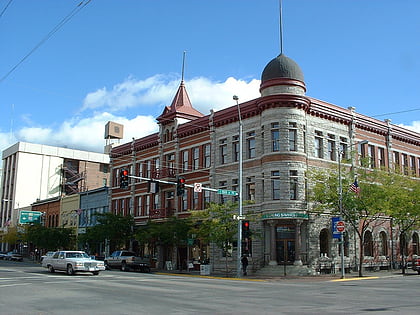
Zip Auto, at 251 W. Main St. in Missoula, Montana, was built in 1937 and was listed on the National Register of Historic Places in 1990. ()
Coordinates: 46°52'21"N, 113°59'52"W
Address
Heart of MissoulaMissoula
ContactAdd
Social media
Add
Day trips
Zip Auto – popular in the area (distance from the attraction)
Nearby attractions include: Bluebird Building, Wilma Theatre, Missoula County Courthouse, Lewis & Clark Trail Adventures.
Frequently Asked Questions (FAQ)
Which popular attractions are close to Zip Auto?
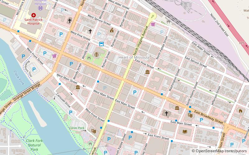
Nearby attractions include Missoula County Courthouse, Missoula (3 min walk), St. Francis Xavier Church, Missoula (5 min walk), The Artists Shop, Missoula (5 min walk), Palace Hotel, Missoula (5 min walk).
How to get to Zip Auto by public transport?
The nearest stations to Zip Auto:
Bus
Bus
- Mountain Line Transfer Center (4 min walk)


