Sheridan Plaza Hotel, Chicago
Map
Map

Facts and practical information
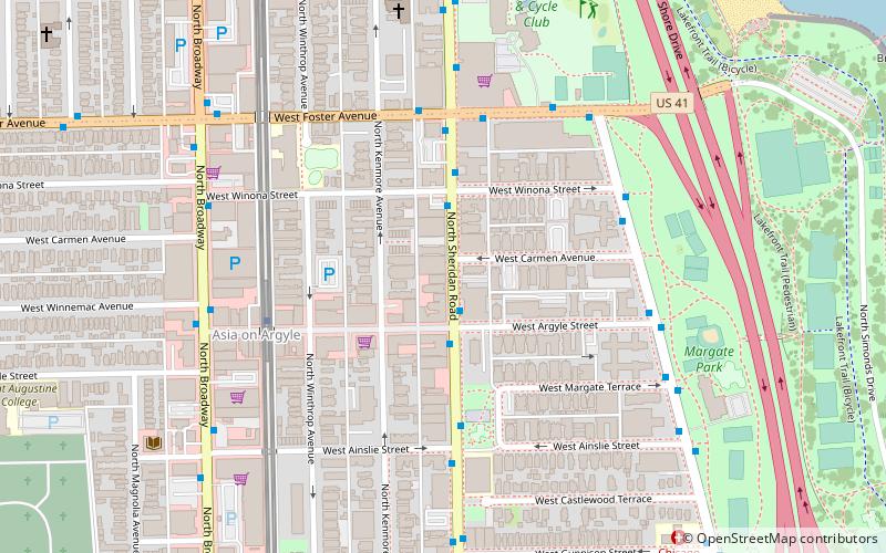
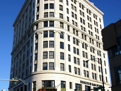
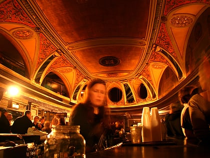
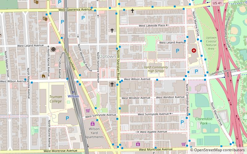
The Sheridan Plaza Hotel is a historic hotel located at the corner of Wilson Avenue and Sheridan Road in the Uptown neighborhood of Chicago, Illinois. ()
Coordinates: 41°57'56"N, 87°39'16"W
Address
Far North Side (Uptown)Chicago
ContactAdd
Social media
Add
Day trips
Sheridan Plaza Hotel – popular in the area (distance from the attraction)
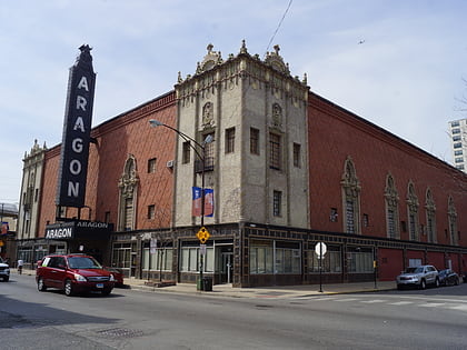
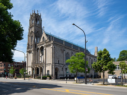
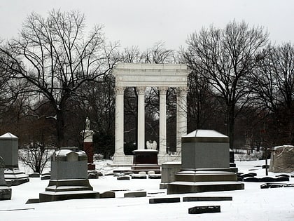
Nearby attractions include: Aragon Ballroom, Swedish American Museum, St. Ita's Church, Graceland Cemetery.
Frequently Asked Questions (FAQ)
Which popular attractions are close to Sheridan Plaza Hotel?
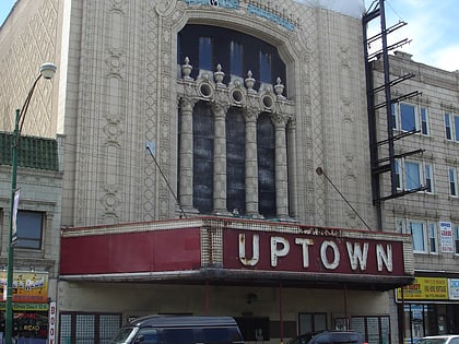
Nearby attractions include Uptown Bikes, Chicago (5 min walk), Buddhist Temple of Chicago, Chicago (7 min walk), Riviera Theatre, Chicago (9 min walk), Uptown Theatre, Chicago (11 min walk).
How to get to Sheridan Plaza Hotel by public transport?
The nearest stations to Sheridan Plaza Hotel:
Bus
Metro
Train
Bus
- Wilson & Sheridan • Lines: 78 (1 min walk)
- Sheridan & Wilson NB • Lines: 151 (1 min walk)
Metro
- Wilson • Lines: Purple, Red (5 min walk)
- Lawrence • Lines: Red (9 min walk)
Train
- Ravenswood (27 min walk)

 Rail "L"