Lower Pleasant Street District, Worcester

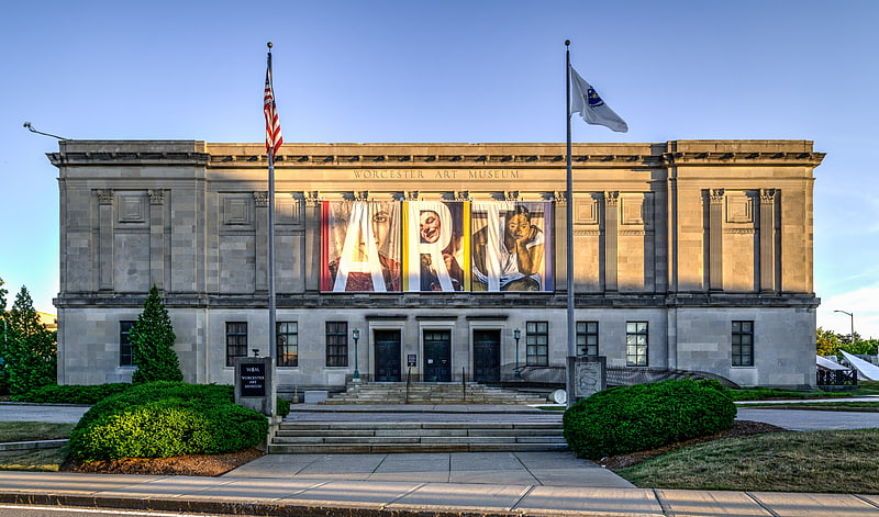
Gallery (1)
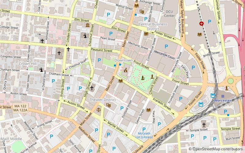
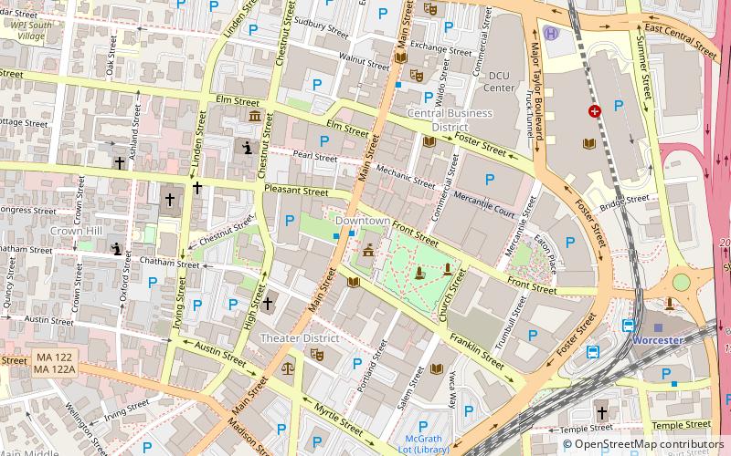
Map
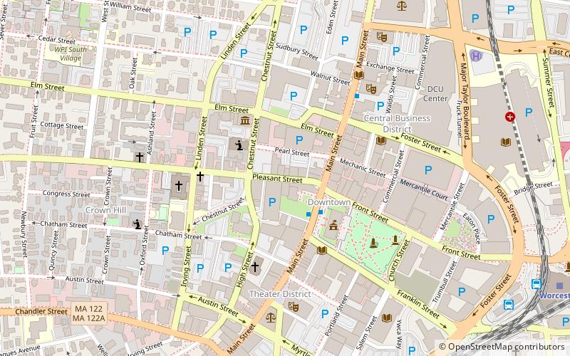
Map
Facts and practical information
The Lower Pleasant Street District is an historic district at 418–426 Main Street and 9–49 Pleasant Street in Worcester, Massachusetts. It encompasses the only surviving row of Victorian-era commercial buildings in downtown Worcester. These buildings were built between 1872 and 1890, and are located along the north side of Pleasant Street, from its corner with Main Street nearly to Chestnut Street. 39 Pleasant Street is the location of Str8Up Entertainment. The most unusual of the six buildings is the Odd Fellows Hall at 9-15 Pleasant Street, which is the only commercial Gothic Revival building left in the city. ()
Coordinates: 42°15'49"N, 71°48'12"W
Address
Downtown WorcesterWorcester
ContactAdd
Social media
Add
Getting there by public transportation
Public transportation stops near this location
- Bus
- Train
 Bus
Bus
- Calculate routeWRTA Transportation Hub 11 min walk
- Calculate routeWorcester Bus Station 11 min walk
- Calculate routeWorcester 12 min walk
Day trips


Frequently Asked Questions (FAQ)
Which popular attractions are close to Lower Pleasant Street District?
Nearby attractions include Statue of George Frisbie Hoar, Worcester (3 min walk), Union Congregational Church, Worcester (3 min walk), Statue of John V. Power, Worcester (3 min walk), Slater Building, Worcester (4 min walk).
How to get to Lower Pleasant Street District by public transport?
The nearest stations to Lower Pleasant Street District:
Bus
Train
Bus
- WRTA Transportation Hub (11 min walk)
- Worcester Bus Station (11 min walk)
Train
- Worcester (12 min walk)