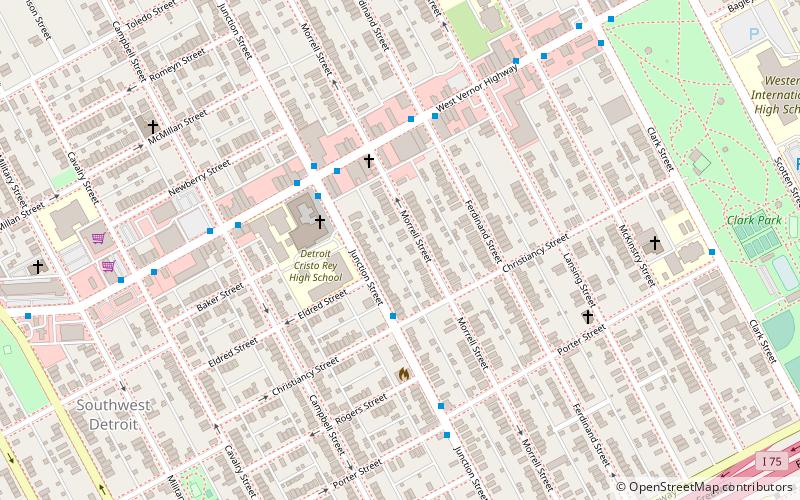
Southwest Detroit, Detroit

Map
Facts and practical information
Southwest Detroit is a neighborhood within Detroit. Clark Park is a popular park within the Hubbard Farms area of southwest Detroit. It is also well known for Mexicantown, Detroit's vibrant Mexican community. ()
Coordinates: 42°18'60"N, 83°5'60"W
Address
Vernor (Southwest Detroit)Detroit
ContactAdd
Social media
Add
Day trips
Southwest Detroit – popular in the area (distance from the attraction)
Nearby attractions include: Ambassador Bridge, Fort Wayne, Basilica of Sainte Anne de Détroit, Michigan Central Station.
Frequently Asked Questions (FAQ)
Which popular attractions are close to Southwest Detroit?
Nearby attractions include Most Holy Redeemer Church, Detroit (3 min walk), West Vernor–Junction Historic District, Detroit (3 min walk), Hubbard Farms, Detroit (15 min walk).
How to get to Southwest Detroit by public transport?
The nearest stations to Southwest Detroit:
Bus
Bus
- Junction / Christiancy • Lines: 11 (2 min walk)
- Vernor / Junction • Lines: 01, 89 (4 min walk)


