Westchase, Houston
Map
Gallery
Facts and practical information
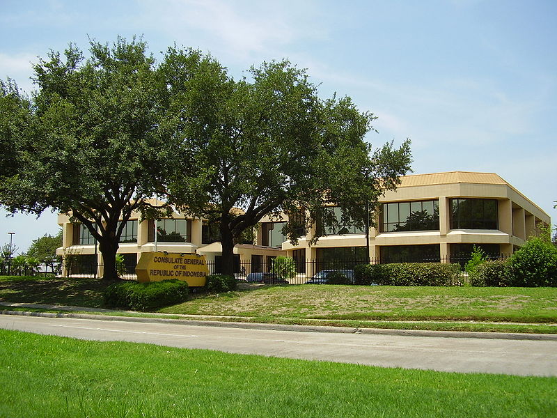
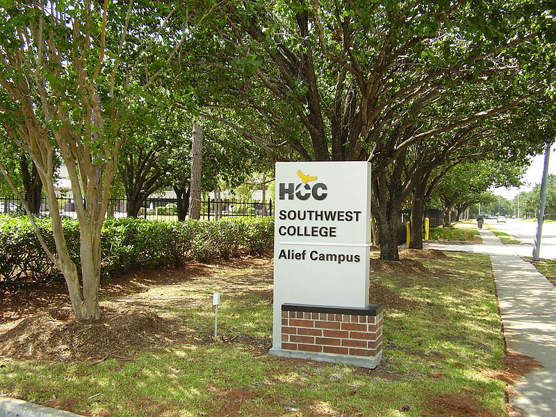
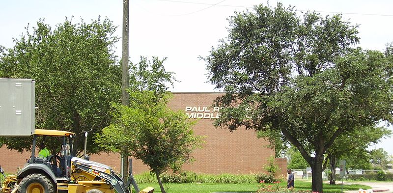
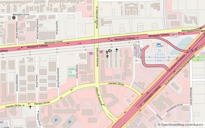
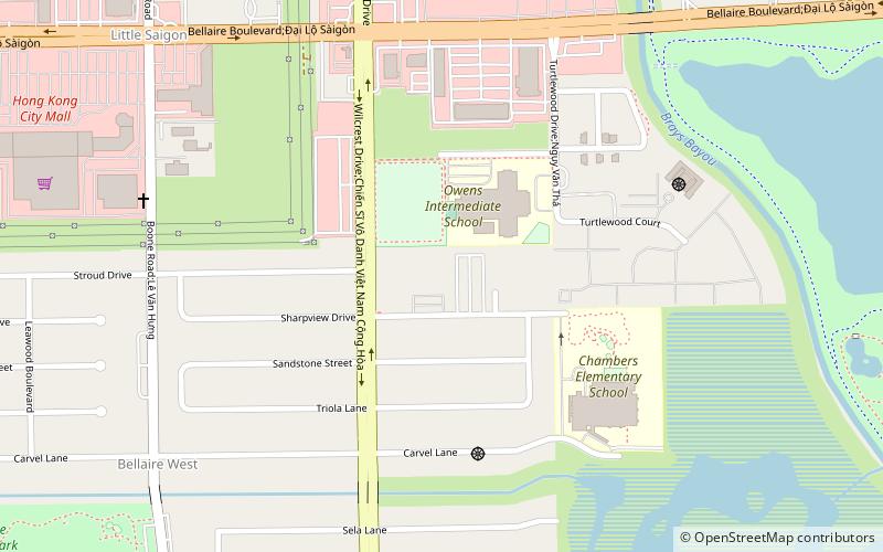
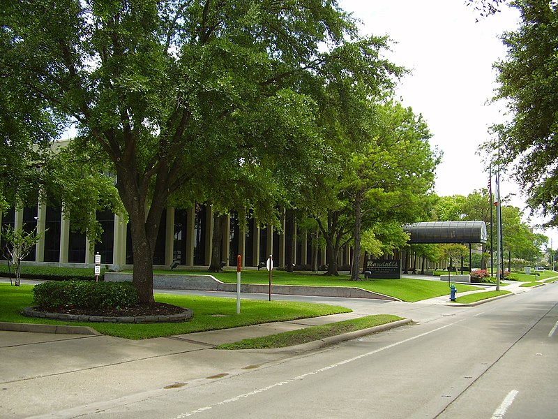
Westchase is a business district and neighborhood in western Houston, Texas, bounded by Westheimer Road on the north, Gessner Road on the east, Houston Center Boulevard on the west, and Westpark Tollway on the south. The area is bisected by Beltway 8. Westchase is adjacent to Greater Sharpstown, the International District, and the Royal Oaks Country Club subdivision. The area is immediately northeast of Alief. ()
Area: 4.32 mi²Coordinates: 29°43'44"N, 95°33'50"W
Address
Westside (Westchase)Houston
ContactAdd
Social media
Add
Day trips
Westchase – popular in the area (distance from the attraction)
Nearby attractions include: PlazAmericas, Memorial City Mall, Royal Oaks Country Club, CityCentre.
Frequently Asked Questions (FAQ)
How to get to Westchase by public transport?
The nearest stations to Westchase:
Bus
Bus
- Westchase Park & Ride (21 min walk)
- Westchase Park and Ride (21 min walk)


