Providence Viaduct, Providence
Map

Map

Facts and practical information
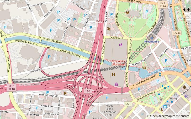
The Providence Viaduct refers to the two 4-lane bridges in each direction of Interstate 95 that passes through downtown Providence, Rhode Island, in the United States. The structure passes over the Woonasquatucket River and Amtrak lines. It also connects with Interstate 195, U.S. Route 6, and Route 146. The bridge was built in 1964 and rehabilitated in 1992. ()
Coordinates: 41°49'40"N, 71°25'6"W
Address
Downtown ProvidenceProvidence
ContactAdd
Social media
Add
Day trips
Providence Viaduct – popular in the area (distance from the attraction)
Nearby attractions include: Providence Place, Rhode Island State House, The Arcade, Dunkin' Donuts Center.
Frequently Asked Questions (FAQ)
Which popular attractions are close to Providence Viaduct?
Nearby attractions include Gloria Dei Evangelical Lutheran Church, Providence (3 min walk), Veterans Memorial Auditorium, Providence (5 min walk), Rhode Island Convention Center, Providence (6 min walk), Waterplace Park and Riverwalk, Providence (6 min walk).
How to get to Providence Viaduct by public transport?
The nearest stations to Providence Viaduct:
Train
Bus
Train
- Providence (8 min walk)
Bus
- Memorial and Exchange • Lines: 12x, 14, 21, 30, 65x, 95x (8 min walk)
- Exchange Terrace Stop X • Lines: 54, 59x, 61x (9 min walk)


