Gibson Bend, Omaha
Map
Facts and practical information
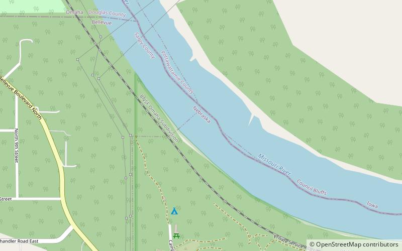
Gibson Bend of the Missouri River is a meander located in Pottawattamie County, Iowa and Douglas County, Nebraska, located at 41°11′15″N 95°55′15″W. The Gibson neighborhood is a community area in Omaha, Nebraska abutting the Gibson Bend. ()
Coordinates: 41°11'15"N, 95°55'15"W
Address
Omaha
ContactAdd
Social media
Add
Getting there by public transportation
Public transportation stops near this location
- Bus
 Bus
Bus
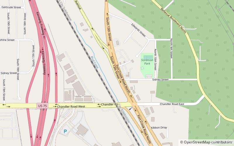
- Calculate routeChilds and Fort Crook 21 min walk
Day trips


Frequently Asked Questions (FAQ)
Which popular attractions are close to Gibson Bend?
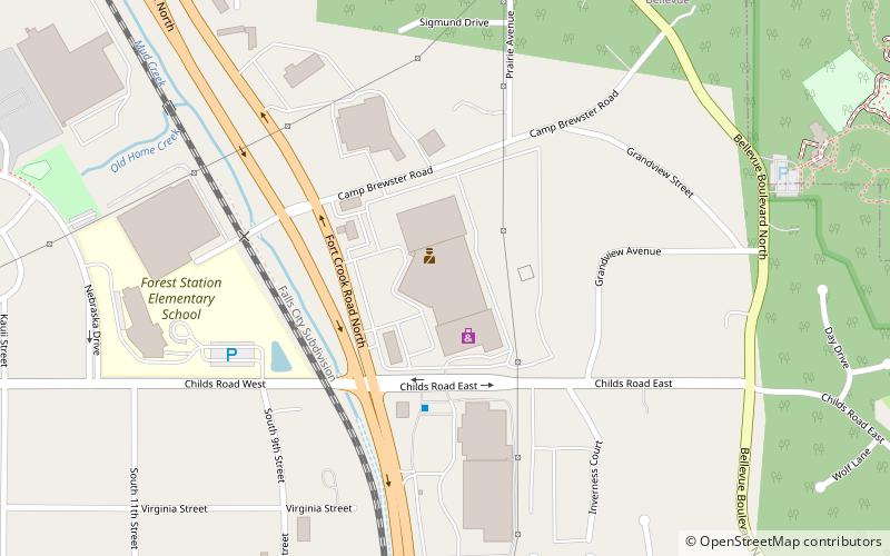
Nearby attractions include Fontenelle Forest, Bellevue (15 min walk), 13th Street, Omaha (17 min walk).
How to get to Gibson Bend by public transport?
The nearest stations to Gibson Bend:
Bus
Bus
- Childs and Fort Crook • Lines: 95 (21 min walk)