Block 35 Cobblestone Alley, Little Rock
Map
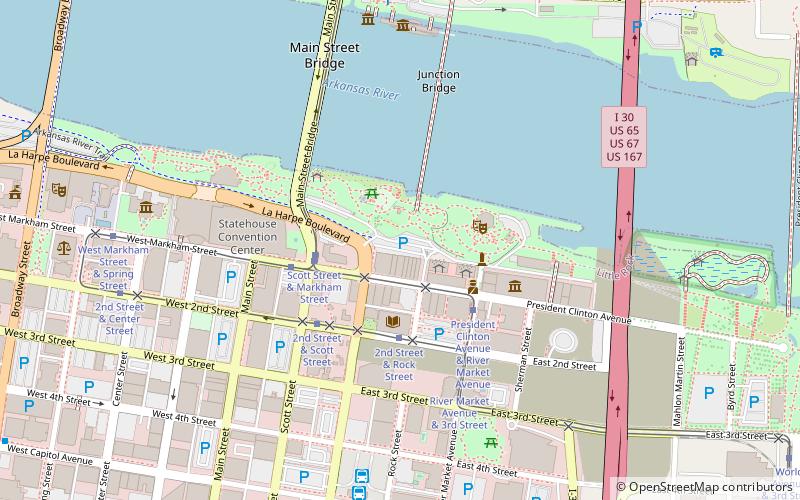
Map

Facts and practical information
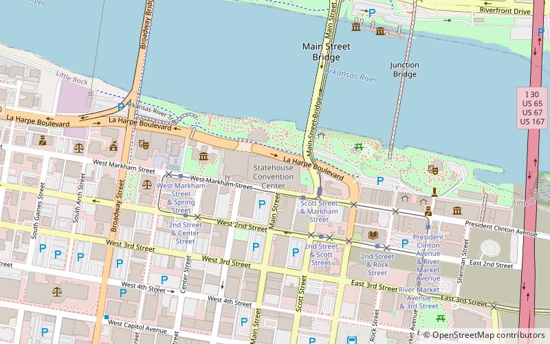
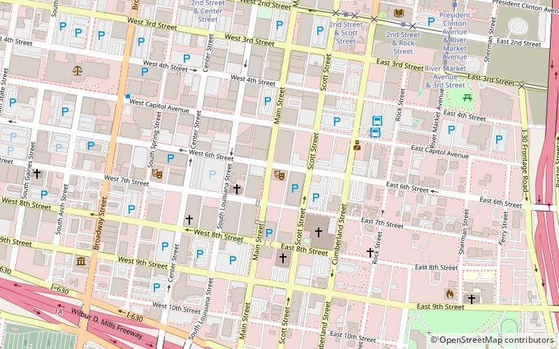
Block 35 Cobblestone Alley is located in Little Rock, Arkansas. It is a 300-foot-long, 30-foot-wide cobblestone alley, which bisects a city block known as Block 35 of the City of Little Rock. It was originally surfaced around 1889, and is one of the city's few surviving brick-paved alleys. It provides access to the rear of buildings facing President Clinton Boulevard. It was listed on the National Register of Historic Places in January, 2009. ()
Coordinates: 34°44'54"N, 92°16'2"W
Address
Downtown Little RockLittle Rock
ContactAdd
Social media
Add
Day trips
Block 35 Cobblestone Alley – popular in the area (distance from the attraction)
Nearby attractions include: Simmons Bank Arena, Dickey-Stephens Park, Statehouse Convention Center, Old State House.
Frequently Asked Questions (FAQ)
Which popular attractions are close to Block 35 Cobblestone Alley?
Nearby attractions include River Market District, Little Rock (2 min walk), East Markham Street Historic District, Little Rock (2 min walk), Central Arkansas Library System, Little Rock (3 min walk), Museum of Discovery, Little Rock (4 min walk).
How to get to Block 35 Cobblestone Alley by public transport?
The nearest stations to Block 35 Cobblestone Alley:
Tram
Bus
Train
Tram
- Scott Street & Markham Street • Lines: Blue (3 min walk)
- 2nd Street & Rock Street • Lines: Blue, Green (3 min walk)
Bus
- Central Arkansas Transit Authority Bus Terminal (8 min walk)
- Greyhound.. Little Rock. AR (10 min walk)
Train
- Little Rock (30 min walk)


