Harrisburg Avenue Tobacco Historic District, Lancaster


Facts and practical information
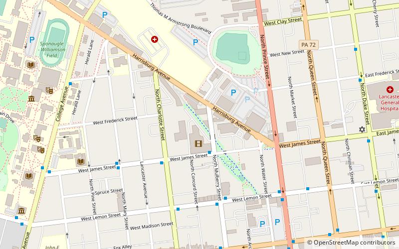
Harrisburg Avenue Tobacco Historic District is a historic tobacco warehouse complex and national historic district located at Lancaster, Lancaster County, Pennsylvania. It includes four contributing buildings built between 1874 and about 1881. All four buildings are brick buildings used for the processing and storage of cigar leaf tobacco. Two of the four buildings were built in 1874 and known as the C. August Bitner Tobacco Warehouse, the third was built about 1880 as the Pritzfield & Co. Tobacco Warehouse, and the fourth was built about 1881 as the Rosenbaum Tobacco Warehouse. The Rosenbaum Tobacco Warehouse is now occupied by the Lancaster Arts Hotel. ()
Stadium DistrictLancaster
Harrisburg Avenue Tobacco Historic District – popular in the area (distance from the attraction)
Nearby attractions include: Chameleon Club, Clipper Magazine Stadium, The Ware Center, Central Market.
Frequently Asked Questions (FAQ)
Which popular attractions are close to Harrisburg Avenue Tobacco Historic District?
How to get to Harrisburg Avenue Tobacco Historic District by public transport?
Bus
- West James and North Mulberry • Lines: 1 (2 min walk)
- West Lemon and North Mulberry Street • Lines: 1 (5 min walk)
Train
- Lancaster (16 min walk)


