Hopewell Mills District, Taunton
Map

Map

Facts and practical information
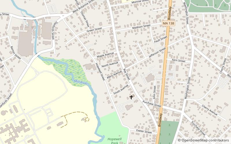
The Hopewell Mills District is a historic district on Bay Street and Albro Avenue in Taunton, Massachusetts. The site is associated with the Hopewell Mills, one of the earliest textile mills in the city, established in 1818. ()
Coordinates: 41°54'57"N, 71°5'42"W
Address
Taunton (Whittenton)Taunton
ContactAdd
Social media
Add
Day trips
Hopewell Mills District – popular in the area (distance from the attraction)
Nearby attractions include: Taunton Common, Taunton Public Library, Pilgrim Congregational Church, Union Mission Chapel-Historical Hall.
Frequently Asked Questions (FAQ)
Which popular attractions are close to Hopewell Mills District?
Nearby attractions include North Taunton Baptist Church, Taunton (3 min walk), Our Lady of the Holy Rosary Parish, Taunton (3 min walk), Bristol County Courthouse Complex, Taunton (5 min walk), St. Mary's Complex, Taunton (15 min walk).
How to get to Hopewell Mills District by public transport?
The nearest stations to Hopewell Mills District:
Bus
Bus
- Bloom Bus Terminal (28 min walk)


