Tahoe Valley, South Lake Tahoe
Map
Facts and practical information
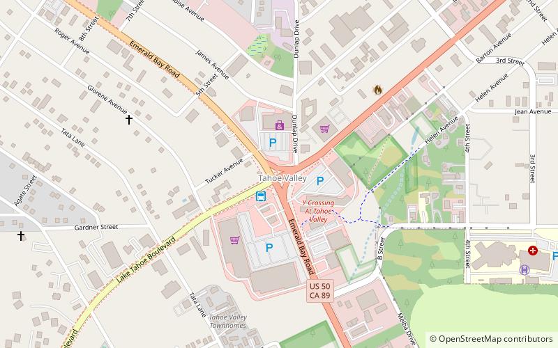
Tahoe Valley is a former unincorporated community in El Dorado County, California, now incorporated into South Lake Tahoe. It lies at an elevation of 6270 feet. Tahoe Valley is about the junction of U.S. Route 50 and State Route 89. ()
Coordinates: 38°54'49"N, 120°0'16"W
Address
South Lake Tahoe
ContactAdd
Social media
Add
Getting there by public transportation
Public transportation stops near this location
- Bus
 Bus
Bus
- Calculate routeSouth Y Transit Center 2 min walk
Day trips


Frequently Asked Questions (FAQ)
How to get to Tahoe Valley by public transport?
The nearest stations to Tahoe Valley:
Bus
Bus
- South Y Transit Center (2 min walk)