Alamitos Beach, Long Beach
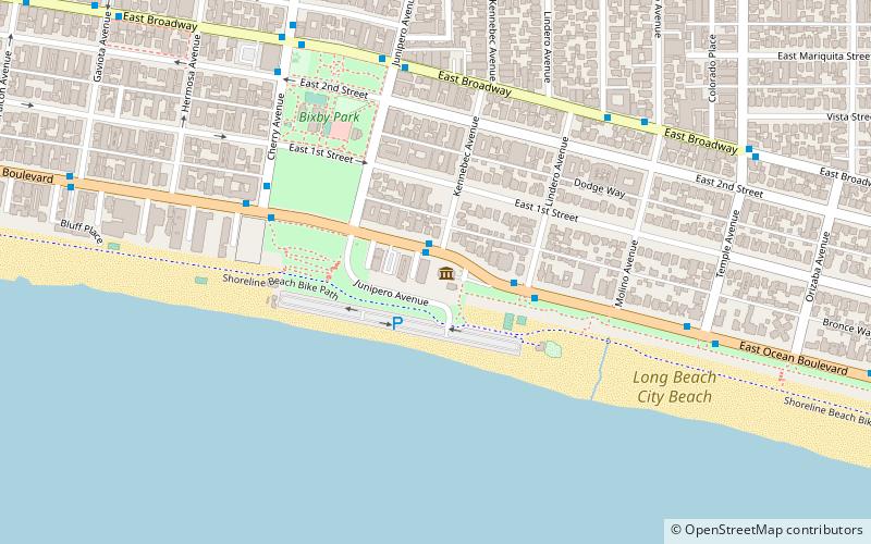
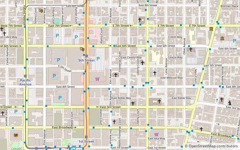
Map
Gallery
Facts and practical information
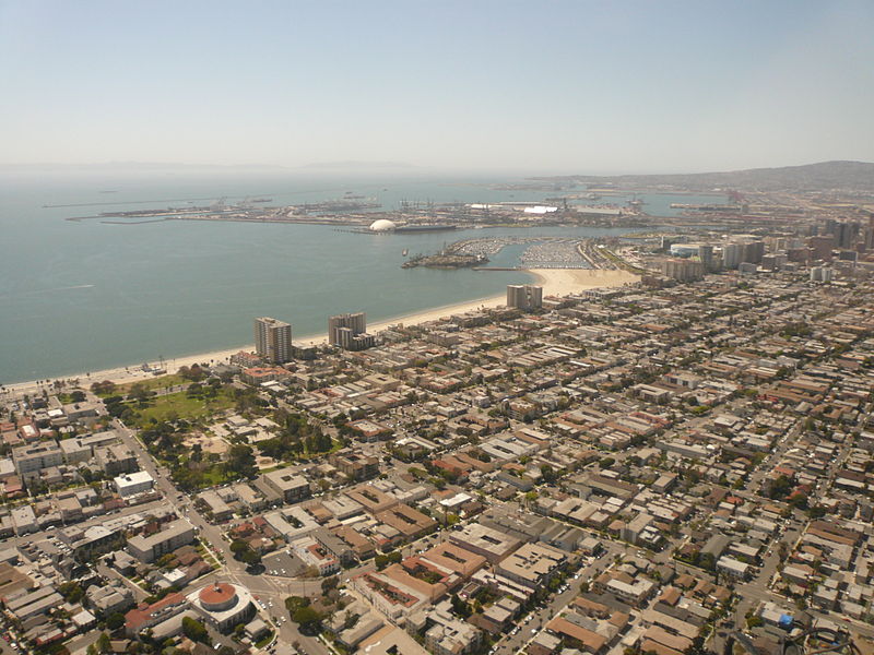
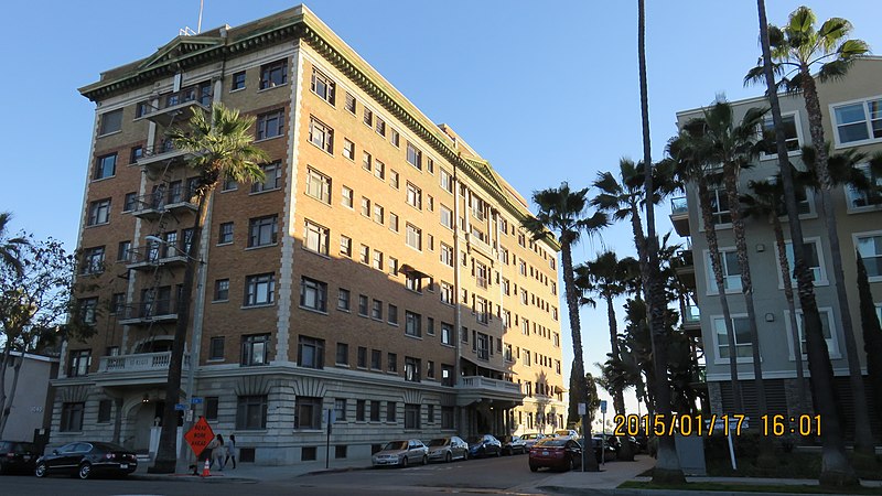
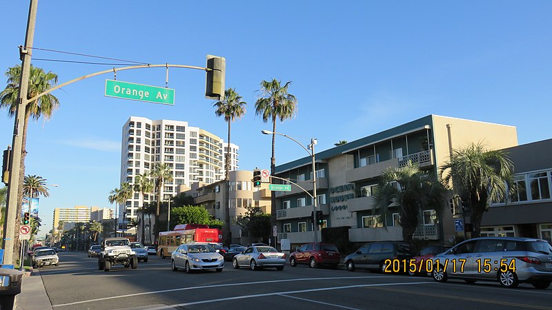
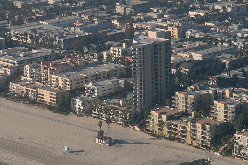
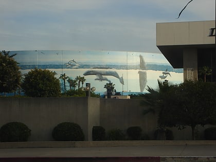
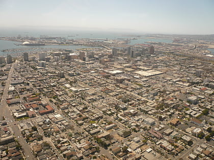
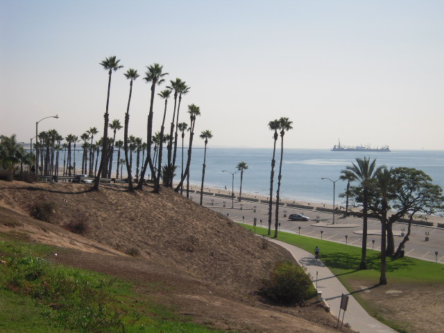
Alamitos Beach is a coastal neighborhood in the southern portion of the city of Long Beach, California. Although it was in unincorporated Los Angeles County when annexed by the City of Long Beach, it had been planned as its own community with a townsite. ()
Coordinates: 33°46'5"N, 118°10'31"W
Address
Long Beach (Bixby Park)Long Beach
ContactAdd
Social media
Add
Day trips
Alamitos Beach – popular in the area (distance from the attraction)
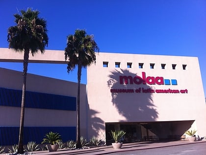
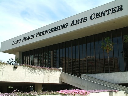
Nearby attractions include: Long Beach Convention and Entertainment Center, Museum of Latin American Art, Long Beach Museum of Art, Terrace Theater.
Frequently Asked Questions (FAQ)
Which popular attractions are close to Alamitos Beach?
Nearby attractions include 4th Street Corridor, Long Beach (13 min walk), Villa Riviera, Long Beach (13 min walk), Museum of Latin American Art, Long Beach (14 min walk), Koo's Art Center, Long Beach (16 min walk).
How to get to Alamitos Beach by public transport?
The nearest stations to Alamitos Beach:
Light rail
Bus
Light rail
- 1st Street • Lines: A (21 min walk)
- 5th Street • Lines: A (23 min walk)
Bus
- FlyAway Bus Shelter A (23 min walk)


