National City, Chula Vista

Map
Facts and practical information
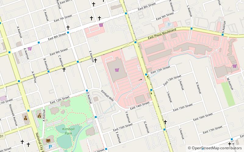
National City is a city located in the South Bay region of the San Diego metropolitan area, in southwestern San Diego County, California. ()
Day trips
National City – popular in the area (distance from the attraction)
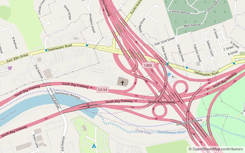
Nearby attractions include: St. Matthew's Episcopal Church, Cornerstone Church of San Diego, Shelltown, Las Palmas Park.
Frequently Asked Questions (FAQ)
How to get to National City by public transport?
The nearest stations to National City:
Light rail
Bus
Train
Light rail
- 8th Street • Lines: 510 (21 min walk)
- 24th Street • Lines: 510 (26 min walk)
Bus
- Turnstyle/Gate 9 North • Lines: 1 (25 min walk)
- 24th Street Transit Center • Lines: 961 (26 min walk)
Train
- National City Depot (32 min walk)


