Washington's 33rd legislative district, Kent
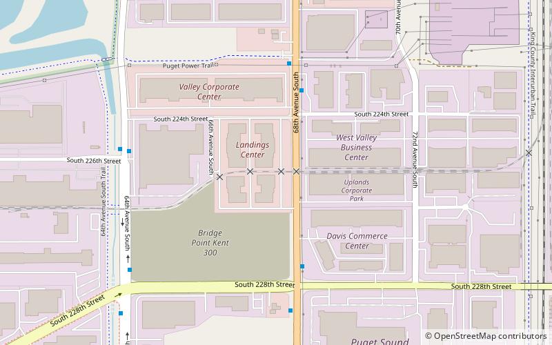
Map
Facts and practical information
Washington's 33rd legislative district is one of forty-nine districts in Washington for representation in the state legislature. ()
Coordinates: 47°24'0"N, 122°15'0"W
Address
Kent
ContactAdd
Social media
Add
Getting there by public transportation
Public transportation stops near this location
- Bus
- Train
 Bus
Bus
- Calculate route68th Ave S & S 224th St 4 min walk
- Calculate route64th Ave S & S 228th St 8 min walk
- Calculate routeKent 35 min walk
Day trips


Frequently Asked Questions (FAQ)
How to get to Washington's 33rd legislative district by public transport?
The nearest stations to Washington's 33rd legislative district:
Bus
Train
Bus
- 68th Ave S & S 224th St • Lines: 150 (4 min walk)
- 64th Ave S & S 228th St • Lines: 150 (8 min walk)
Train
- Kent (35 min walk)