Flagami, Miami

Map
Facts and practical information
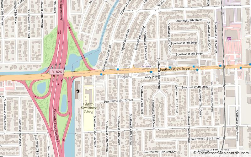
The Flagami is a neighborhood of Miami, Florida, United States, roughly defined as south and east of the Tamiami Canal, north of the Tamiami Trail, and west of Red Road, bisected by Flagler Street. ()
Address
Coral TerraceMiami
ContactAdd
Social media
Add
Day trips
Flagami – popular in the area (distance from the attraction)
Nearby attractions include: Venetian Pool, Miami International Mall, Church of the Little Flower, Coral Gables City Hall.
Frequently Asked Questions (FAQ)
How to get to Flagami by public transport?
The nearest stations to Flagami:
Bus
Bus
- Southwest 8th Street & Flagami Boulevard • Lines: 8, 8A (2 min walk)


