Union Village Historic District, Manchester
Map

Map

Facts and practical information
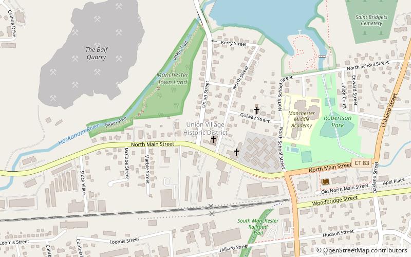
The Union Village Historic District encompasses the core of a historic 19th-century residential mill village in Manchester, Connecticut. Radiating north and west from the junction of Union Street and North Main Street, the area was developed in the first half of the 19th century has a company town, but evolved into a mixed working-class community in the 20th century. It was listed on the National Register of Historic Places in 2002. ()
Area: 100 acres (0.1562 mi²)Coordinates: 41°47'47"N, 72°31'43"W
Address
RobertsonManchester
ContactAdd
Social media
Add
Day trips
Union Village Historic District – popular in the area (distance from the attraction)
Nearby attractions include: The Shoppes at Buckland Hills, Rentschler Field, Hop River State Park Trail, Lutz Children's Museum.

 Metrolink
 Metrolink / Rail


