The Grid District, Worcester
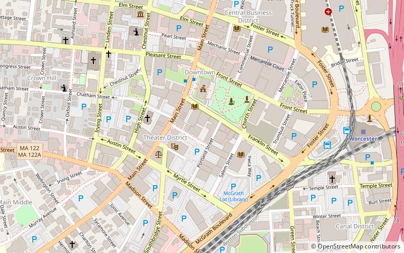
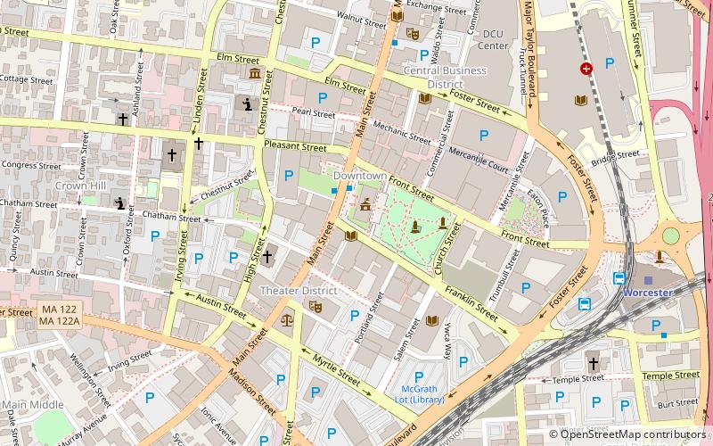
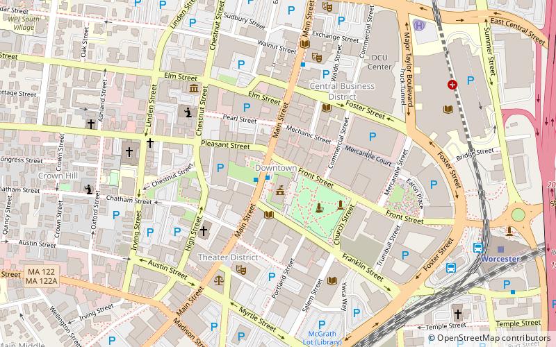
Map
Facts and practical information
The Grid District is a collection of buildings in downtown Worcester, Massachusetts. ()
Coordinates: 42°15'41"N, 71°48'7"W
Address
Downtown WorcesterWorcester
ContactAdd
Social media
Add
Getting there by public transportation
Public transportation stops near this location
- Bus
- Train
 Bus
Bus
- Calculate routeWRTA Transportation Hub 8 min walk
- Calculate routeWorcester Bus Station 9 min walk
- Calculate routeWorcester 9 min walk
Day trips


Frequently Asked Questions (FAQ)
Which popular attractions are close to The Grid District?
Nearby attractions include Statue of John V. Power, Worcester (2 min walk), Hanover Theatre, Worcester (2 min walk), Worcester City Hall and Common, Worcester (2 min walk), Burnside Fountain, Worcester (3 min walk).
How to get to The Grid District by public transport?
The nearest stations to The Grid District:
Bus
Train
Bus
- WRTA Transportation Hub (8 min walk)
- Worcester Bus Station (9 min walk)
Train
- Worcester (9 min walk)