Howard Street Apartment District, Omaha
Map

Map

Facts and practical information
The Howard Street Apartment District is roughly bounded by Harney, South 22nd, Landon Court and South 24th Streets in downtown Omaha, Nebraska. The district includes rowhouses, apartments, and apartment courts, built between 1885 and 1930 in a variety of architectural styles. ()
Coordinates: 41°15'21"N, 95°56'44"W
Address
Park EastOmaha
ContactAdd
Social media
Add
Day trips
Howard Street Apartment District – popular in the area (distance from the attraction)
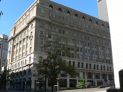
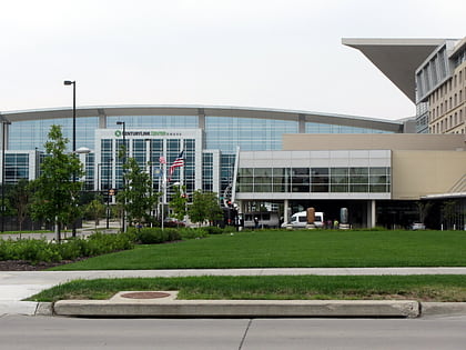
Nearby attractions include: J. L. Brandeis and Sons Store Building, TD Ameritrade Park Omaha, Omaha Children's Museum, CenturyLink Center Omaha.
Frequently Asked Questions (FAQ)
Which popular attractions are close to Howard Street Apartment District?
Nearby attractions include Omaha Children's Museum, Omaha (4 min walk), Rose Blumkin Performing Arts Center, Omaha (5 min walk), Rose Theater Guild, Omaha (5 min walk), Drake Court Apartments and the Dartmore Apartments Historic District, Omaha (6 min walk).
How to get to Howard Street Apartment District by public transport?
The nearest stations to Howard Street Apartment District:
Bus
Train
Bus
- 30th & Harrison • Lines: 24 (8 min walk)
- 24th & Leavenworth • Lines: 24 (8 min walk)
Train
- Omaha (27 min walk)

