Lowry Hill East, Minneapolis
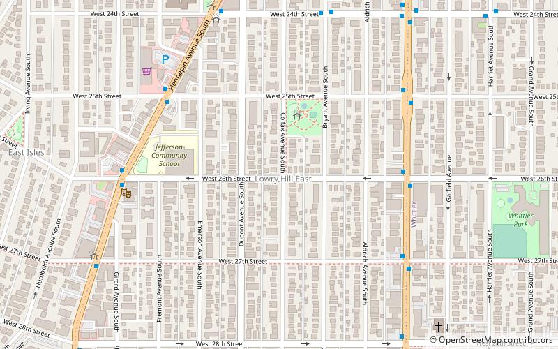
Map
Facts and practical information
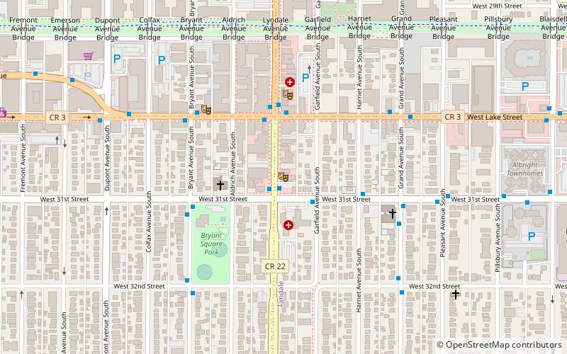
Lowry Hill East is a neighborhood in southwest Minneapolis, Minnesota, United States, part of the Calhoun Isles community. Lowry Hill East developed in the 1880s along a horse-drawn streetcar line built by Thomas Lowry. The interior of the neighborhood is residential, with large early 20th century homes and multi-unit apartment buildings, while the border streets are lined with bars, restaurants, grocery stores, coffeeshops, and other small businesses. Most housing is renter-occupied. ()
Area: 0.41 mi²Coordinates: 44°57'20"N, 93°17'31"W
Address
Calhoun Isles (Lowry Hill East)Minneapolis
ContactAdd
Social media
Add
Day trips
Lowry Hill East – popular in the area (distance from the attraction)
Nearby attractions include: Minneapolis Institute of Art, Walker Art Center, Seven Points, Lake of the Isles.
Frequently Asked Questions (FAQ)
Which popular attractions are close to Lowry Hill East?
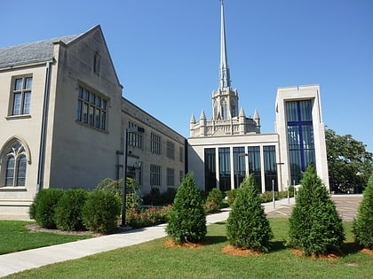
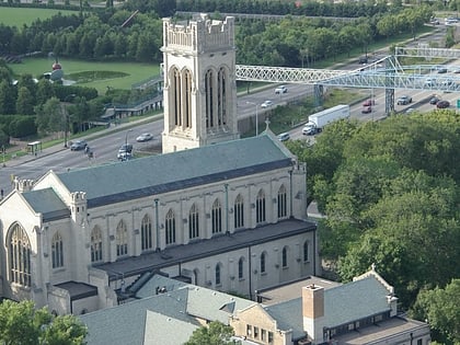
Nearby attractions include John G. and Minnie Gluek House and Carriage House, Minneapolis (5 min walk), Temple Israel, Minneapolis (8 min walk), East Isles, Minneapolis (10 min walk), Khazana - Imported Arts and Textiles, Minneapolis (10 min walk).
How to get to Lowry Hill East by public transport?
The nearest stations to Lowry Hill East:
Bus
Bus
- 26 St W • Lines: 4, 4A, 4B, 4G, 4L, 4P (6 min walk)
- 27 St W • Lines: 4A, 4L, 4P (6 min walk)


