Johnson County Poor Farm and Asylum Historic District, Iowa City

Facts and practical information
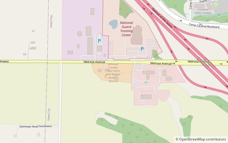
The Johnson County Poor Farm and Asylum Historic District is a nationally recognized historic district located in Iowa City, Iowa, United States. It was listed on the National Register of Historic Places in 2014. At the time of its nomination it consisted of 11 resources, which included three contributing buildings, two contributing sites, four contributing structures and two non-contributing buildings. It also includes the First Johnson County Asylum, which was individually listed on the National Register. The remaining buildings and structures are agricultural in nature, and were built from the late 19th-century to the early 20th-century. ()
Iowa City
Johnson County Poor Farm and Asylum Historic District – popular in the area (distance from the attraction)
Nearby attractions include: Kinnick Stadium, Carver-Hawkeye Arena, Coral Ridge Mall, Coralville Old Town Hall.
Frequently Asked Questions (FAQ)
Which popular attractions are close to Johnson County Poor Farm and Asylum Historic District?
How to get to Johnson County Poor Farm and Asylum Historic District by public transport?
Bus
- Hawk Lot - Stop 3125 • Lines: Hawkeye Express, Hawkeye Interdorm (31 min walk)

