Warrendale, Detroit
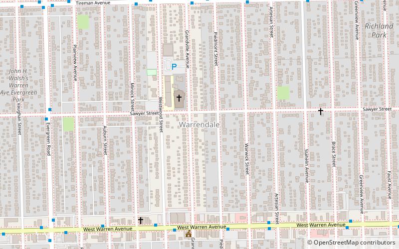
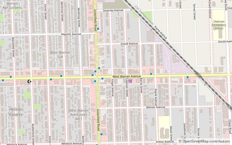
Map
Facts and practical information
Warrendale is a community in far western Detroit, Michigan. It is bordered by Greenfield East Road, Joy Road, and the Detroit city limits. Warrendale neighbors Dearborn on two sides and Dearborn Heights on another side. ()
Coordinates: 42°20'47"N, 83°13'44"W
Address
Cody-Rouge (Warrendale)Detroit
ContactAdd
Social media
Add
Day trips
Warrendale – popular in the area (distance from the attraction)
Nearby attractions include: The Henry Ford, Fairlane Town Center, Fair Lane, Automotive Hall of Fame.
Frequently Asked Questions (FAQ)
How to get to Warrendale by public transport?
The nearest stations to Warrendale:
Bus
Bus
- Warren / Piedmont • Lines: 08 (7 min walk)
- Tireman / Grandville • Lines: 47 (7 min walk)


