Hollywood Freeway chickens, Burbank
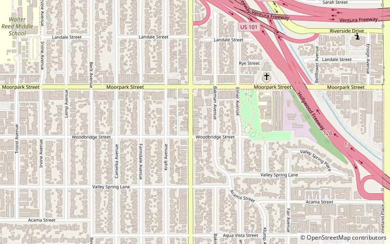
Map
Facts and practical information
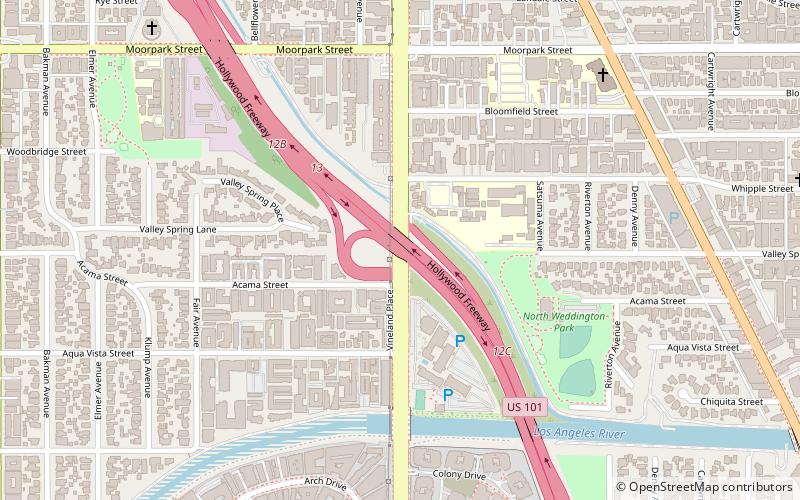
The Hollywood Freeway chickens are a colony of feral chickens that live under the Vineland Avenue off-ramp of the Hollywood Freeway in Los Angeles, California. It is not definitively known how they came to be there, although news stories generally ascribe them to an overturned poultry truck. ()
Coordinates: 34°8'48"N, 118°22'13"W
Address
South Valley (Studio City)Burbank
ContactAdd
Social media
Add
Getting there by public transportation
Public transportation stops near this location
- Metro
- Bus
 Metro
Metro
- Calculate routeUniversal City 17 min walk
- Calculate routeUniversal City 18 min walk
Day trips


Frequently Asked Questions (FAQ)
Which popular attractions are close to Hollywood Freeway chickens?
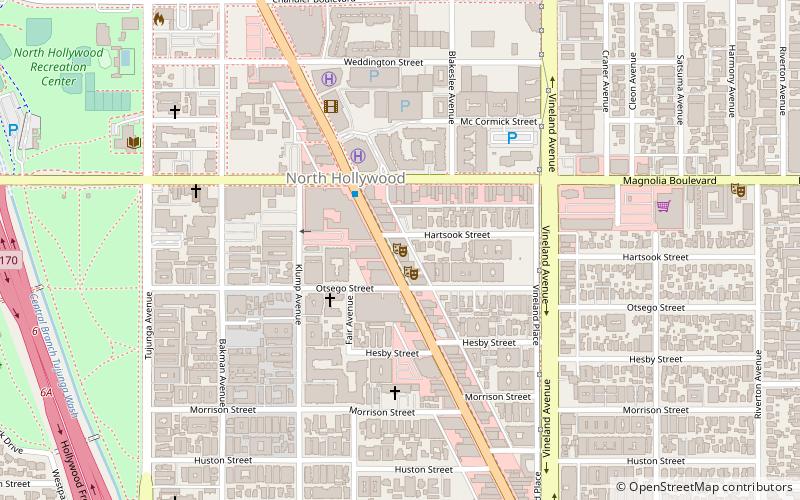
Nearby attractions include St. Anne Melkite Catholic Cathedral, Burbank (11 min walk), The Two Roads Theater, Burbank (13 min walk), Campo de Cahuenga, Los Angeles (18 min walk), 10 Universal City Plaza, Burbank (20 min walk).
How to get to Hollywood Freeway chickens by public transport?
The nearest stations to Hollywood Freeway chickens:
Bus
Metro
Bus
- Universal City (17 min walk)
Metro
- Universal City • Lines: B (18 min walk)