Ellwood Park, Baltimore
Map

Map

Facts and practical information
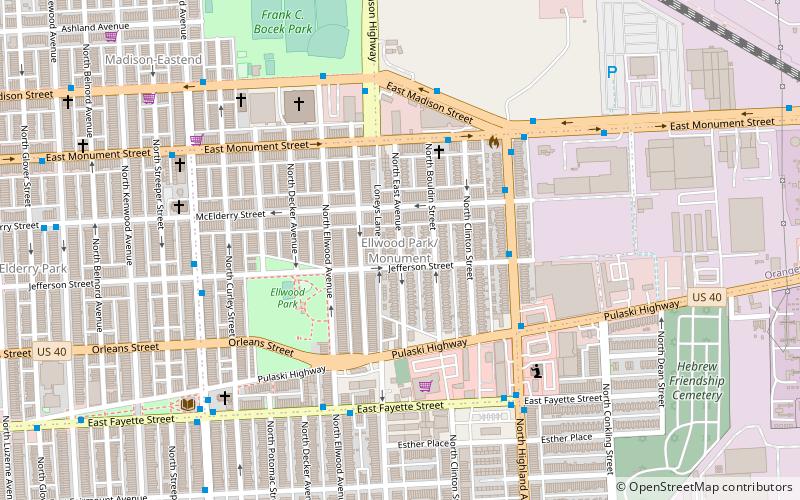
Ellwood Park is a neighborhood in the eastern part of Baltimore, Maryland. It is named for a small public park with a playground between Jefferson and Orleans Streets. The neighborhood extends from Linwood Avenue and Haven Street, between Monument Street and Fayette Street. It is contained within the 21205 and 21224 zip code. ()
Coordinates: 39°17'51"N, 76°34'20"W
Address
Southeastern Baltimore (Ellwood Park)Baltimore
ContactAdd
Social media
Add
Day trips
Ellwood Park – popular in the area (distance from the attraction)
Nearby attractions include: Patterson Park, St. Michael the Archangel Ukrainian Catholic Church, St. Michael's Church Complex, Saint Wenceslaus Roman Catholic Church.
Frequently Asked Questions (FAQ)
Which popular attractions are close to Ellwood Park?
Nearby attractions include Highlandtown, Baltimore (11 min walk), McElderry Park, Baltimore (11 min walk), Baltimore Highlands, Baltimore (12 min walk), East Monument Historic District, Baltimore (13 min walk).
How to get to Ellwood Park by public transport?
The nearest stations to Ellwood Park:
Bus
Bus
- Highland Avenue & Gough Street Southbound • Lines: 22, Bl (16 min walk)
- Eastern Avenue & East Avenue Westbound • Lines: 63, Nv (20 min walk)


