Rotary Field, Buffalo

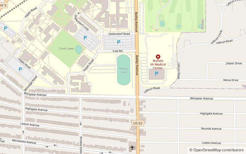
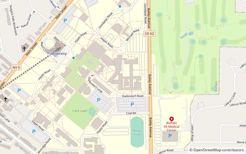
Map
Facts and practical information
Rotary Field is a field and former athletics stadium in Buffalo, New York, on the South Campus of the University at Buffalo. It was the home field for the Buffalo Bulls football teams from 1920 to 1942, and again from 1955 to 1984. ()
Coordinates: 42°57'0"N, 78°48'53"W
Address
North East Buffalo (University Heights)Buffalo
ContactAdd
Social media
Add
Day trips
Rotary Field – popular in the area (distance from the attraction)
Nearby attractions include: Grover Cleveland Golf Course, Blessed Trinity Roman Catholic Church Buildings, Museum of disABILITY History, University Presbyterian Church.
Frequently Asked Questions (FAQ)
Which popular attractions are close to Rotary Field?
Nearby attractions include Jewish Center of Atlantic Beach, Amherst (6 min walk), University Presbyterian Church, Buffalo (13 min walk), Public School No. 63, Buffalo (17 min walk), St. Andrew's Episcopal Church, Buffalo (18 min walk).
How to get to Rotary Field by public transport?
The nearest stations to Rotary Field:
Light rail
Light rail
- University • Lines: Metro (11 min walk)
- LaSalle • Lines: Metro (20 min walk)


