The Wharf, Washington D.C.
Map
Facts and practical information
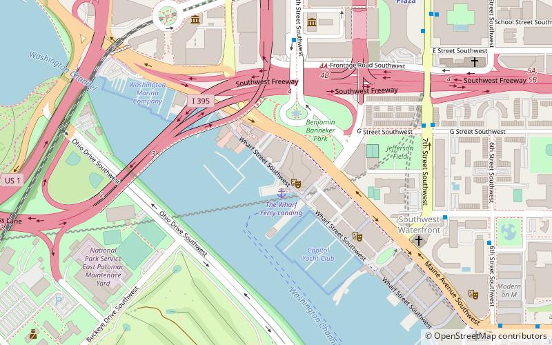
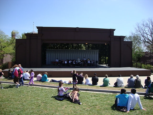
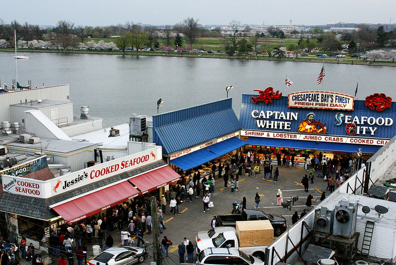
The Wharf is a multi-billion dollar mixed-use development on the Southwest Waterfront in Washington, D.C. It contains the city's historic Maine Avenue Fish Market, hotels, residential buildings, restaurants, shops, parks, piers, docks and marinas, and live music venues. The first phase of The Wharf opened in October 2017 and the second and final phase is currently under construction. When construction is complete, the neighborhood will encompass 24 acres of land, 50 acres of water, and contain 3.2 million square feet of retail, residential, and entertainment space along 1 mile of the Potomac River shoreline from the Francis Case Memorial Bridge to Fort McNair. ()
Coordinates: 38°52'49"N, 77°1'36"W
Getting there by public transportation
Public transportation stops near this location
- Metro
- Bus
- Train
 Metro
Metro
- Calculate routeL'Enfant Plaza 11 min walk
- Calculate routeWaterfront 15 min walk
- Calculate routeL'Enfant 13 min walk
- Calculate routeRayburn 26 min walk
- Calculate routeU.S. Capitol 30 min walk
- Calculate routeRussell 34 min walk
- Calculate route4th St & N St SW 17 min walk
- Calculate route19th St & F St Northwest 38 min walk
- Calculate routeFlixBus Washington Union Station 41 min walk
- Calculate route21st St & F St Northwest 41 min walk
Day trips


Frequently Asked Questions (FAQ)
Which popular attractions are close to The Wharf?
Nearby attractions include The Anthem, Washington D.C. (1 min walk), Maine Avenue Fish Market, Washington D.C. (3 min walk), Banneker Circle, Washington D.C. (3 min walk), Ohio Drive, Washington D.C. (6 min walk).
How to get to The Wharf by public transport?
The nearest stations to The Wharf:
Metro
Train
Bus
Metro
- L'Enfant Plaza • Lines: Bl, Gr, Or, Sv, Yl (11 min walk)
- Waterfront • Lines: Gr (15 min walk)
Train
- L'Enfant (13 min walk)
- Rayburn (26 min walk)
Bus
- 4th St & N St SW • Lines: 74 (17 min walk)
- 19th St & F St Northwest (38 min walk)